Myślenickie Turnie
Myślenickie Turnie – a peak at 1361 meters above sea level in the Western Tatra Mountains. It forms a rocky crest on the northern ridge of Kasprowy Wierch, descending into the Bystra Valley. To the south, it borders Sucha Czuba, which lies on the same ridge. The western slopes descend into the Goryczkowa Valley, and the eastern slopes into the Kasprowy Valley.
Myślenickie Turnie is composed of dolomites with intercalations of early Anisite limestone. The central sections of the northern slopes are composed of Middle Jurassic limestone, while the lower, upper, and lowest sections of the slopes are composed of Lower Cretaceous limestone. Several caves, inaccessible to tourists, are located on the mountain’s slopes.
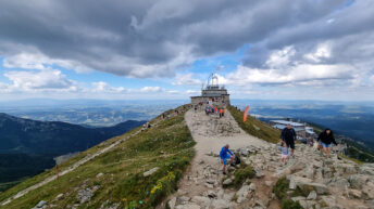
The peak is covered with an upper montane spruce forest. Below the summit is the intermediate station of the cable car from Kuźnice to Kasprowy Wierch. From the clearing near the station, you can admire views of Giewont, the Goryczkowa Valley, and Kalatówki.
The green Kuźnice – Kasprowy Wierch hiking trail runs through Myślenickie Turnie.
Hikes related to the tag MYŚLENICKIE TURNIE: