Tag - Biała Lądecka River
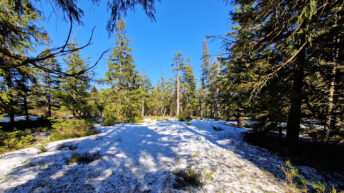
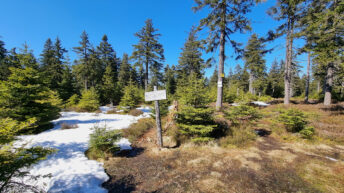
Biała Lądecka – a 52-kilometer-long river in the Oder River basin, a right tributary of the Nysa Kłodzka River. Its sources are located on the northern and western slopes of Postawna Mountain in the Złote Mountains, at an elevation of approximately 1050 meters above sea level. Its main sources are two streams flowing from the slopes of Postawna: the Biały Spław and the Długi Spław. The main towns through which it flows are Stronie Śląskie and Lądek Zdrój. It flows into the Nysa Kłodzka River in Krosnowice, south of Kłodzko, at an elevation of 297 meters above sea level. Its basin, covering an area of 314.6 km², is predominantly mountainous.
In its upper reaches, the river flows through a deeply incised valley, creating picturesque meanders and cascades. From Bielice to Stronie Śląskie, the valley widens. On the Stronie–Lądek–Radochów section, the river forms a gorge bounded by hills composed of Gierałtów and Śnieżnica gneisses, dotted with numerous rock outcrops.
From Radochów onward, the valley widens considerably, and the flat valley floor is mainly occupied by agricultural land. Pleistocene terraces are clearly visible. The floor is covered with Quaternary sediments: gravels covered with clay, from which hardwood hills protrude here and there. The location of the glacier’s arrival is marked by characteristic bottom sediments that cover the valley from Trzebieszowice onward.
Hikes related to the tag BIAŁA LĄDECKA RIVER:


