Tag - Hańczowa Mountains
Hańczowa Mountains – according to an informal division, a mountain group that is the highest part of the Low Beskid Mountains in Poland. It includes areas located in the basins of the upper courses of the Biała and Ropa Rivers. The Hańczowa Mountains include: the Lackowa massif (997 m a.s.l.); the Biała Skała (921 m a.s.l.) and Ostry Wierch (930 m a.s.l.) range, of which, beyond the Cigelka Pass, are the peaks of Hrb (764 m a.s.l.) and Płaziny (825 m a.s.l.); the Siwejka range (785 m a.s.l.) with the Bziany massif (740 m a.s.l.), separated by the Ropka Valley; the Dzielec range (717 m a.s.l.) and Bordiów Wierch (755 m a.s.l.); Obycz range (788 m a.s.l.), Jaworzynka (869 m a.s.l.) and Kozie Żebro (847 m a.s.l.), the extension of which in the north-west direction is the Polana embankment (721 m a.s.l.), and behind the Ropa gorge – the Sucha Homola range (708 m a.s.l.).
The terrain is formed by long, narrow mountain ridges and steep slopes. They run approximately at an angle of 45 degrees to the parallels, from the north-west to the south-east. They are separated by narrow and deep valleys of rivers and streams. The valleys are straight, wide and have relatively flat bottoms. The ridges and valleys form a characteristic grid, hence another name for this region is Hańczowa Ruszt Mountains.
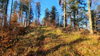
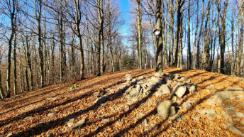
The Hańczowa Mountains ranges are mostly covered with forests. There are only two vegetation zones: foothills (up to 550 m a.s.l.) and lower montane zone. The foothill zone consists of remnants of primeval oak-hornbeam forests, alders and willow thickets in river valleys, while the lower montane zone consists of fir, beech and pine forests. On the higher ranges, there is the Carpathian beech forest, characteristic of this region.
Hikes related to the tag HAŃCZOWA MOUNTAINS:


