Virtual hike: Ascent to Jaworzyna Krynicka from Krynica-Zdrój, Poland
Route: Krynica-Zdrój, Halna Street (555 m a.s.l.; 49.406314, 20.953224) – Czarny Potok (597 m a.s.l.; 49.406893, 20.933628) – Diabelski Kamień (965 m a.s.l.; 49.419909, 20.907355) – Jaworzyna Krynicka Mountain (1114 m a.s.l.; 49.418046, 20.895512)
Trail designation: red trail
Length: about 7.2 km
Walking time: about 3:00 h
Sum of approaches: 709 m
Sum down: 164 m
00:00:27 Krynica-Zdrój, Halna Street
00:39:58 Czarny Potok
00:46:48 Czarny Potok
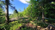
01:13:19 Going off the trail
01:17:15 Ski slope
01:21:12 Return to the red trail
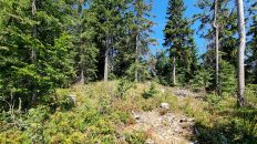
01:29:24 Ski slope
01:39:43 Crossing of trails
01:45:27 Diabelski Kamień
01:49:03 Crossing of trails
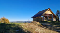
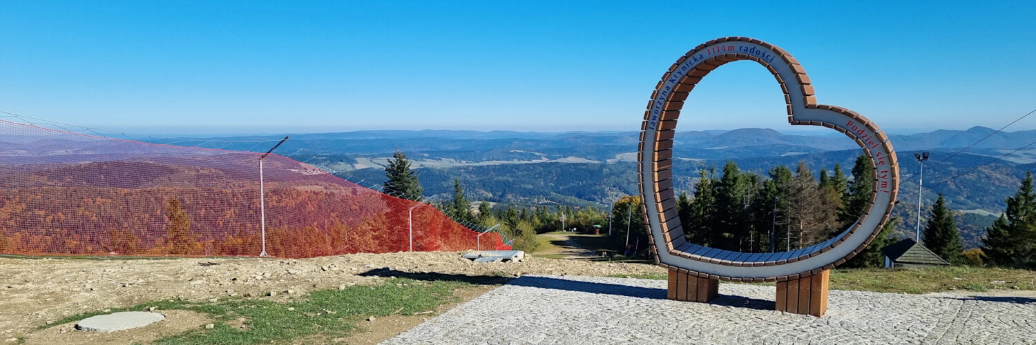
02:09:10 Jaworzyna Krynicka Mountain
Jaworzyna Krynicka – a peak at an altitude of 1114 m a.s.l. in the Sącz Beskid Mountains. It is located in the eastern part of the Jaworzyna Range and is its highest peak.
Hike recorded on October 17, 2024.