Tag - Zamczysko Hill (Orłowiny Range)
Zamczysko Hill – a hill at an elevation of 421 m a.s.l. in the Świętokrzyskie Mountains, in the southern part of the Orłowiny Range. It forms a separate ridge, approximately 2.2 kilometers long, running latitudinally from the village of Widełki in the west to the Grodno Stream in the east. The northern slopes gently slope down to the hamlet of Zagórze in Nowa Huta, while the southern slopes descend steeply to the hamlet of Podgórze in the same village.
The hill has two peaks; on the western side is a lower peak at 414 m a.s.l. The summit is exposed and offers a southward view of the Ociesęki Range.
In the Middle Ages, a defensive stronghold or watchtower likely stood on the summit of Zamczysko Hill, ensuring the safety of the surrounding villages. This is evidenced by the remains of medieval buildings with a purely military purpose dating from the 13th and 14th centuries. Researchers speculate that two wooden defensive towers stood here, connected by an earthen rampart.
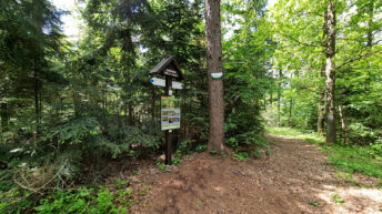
The blue Edmund Padechowicz hiking trail from Chęciny to Łagów runs through the peak.
Hikes related to the tag ZAMCZYSKO HILL (ORŁOWINY RANGE):