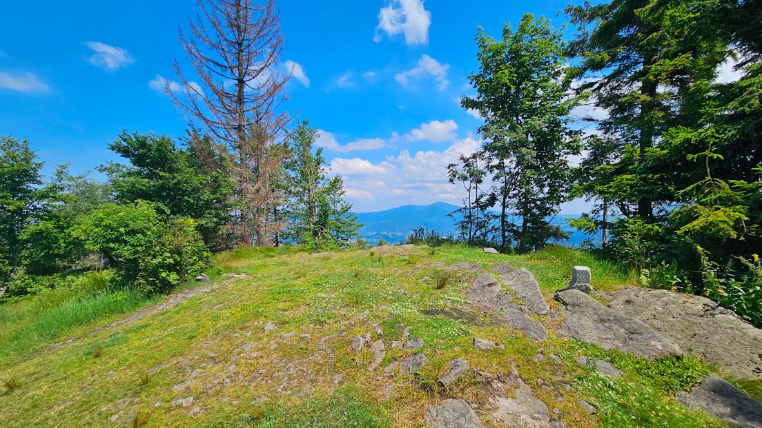
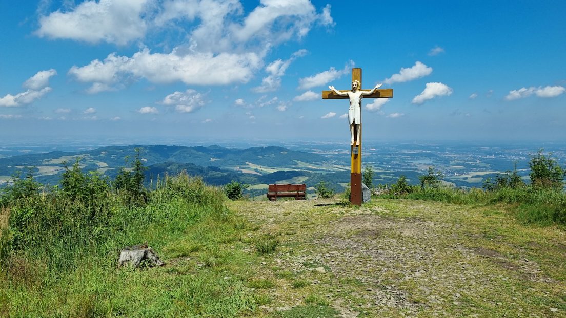
The second part of the scenic hike through the Ondřejník Massif in the Podbeskydy Uplands. At the top of Ondřejník we admire the magnificent panorama of the Podbeskydy Uplands and the Moravian-Silesian Beskids. Then we head south along the ridge of the Ondřejník Massif, enjoying distant...
Region: Podbeskydy Uplands
Podbeskydy Uplands – a physiogeographic mesoregion in the Czech part of Silesia and northern Moravia, the extreme western part of the Western Beskid Foothills. It stretches approximately latitudinally for almost 100 km between the Hostýnsko-Vsetín Mountains and the Moravian-Silesian Beskids in the south and the Upper Moravian Depression, the Moravian Gate and the Ostrava Basin in the north. The eastern border is the Olza Valley, beyond which lies another part of the Western Beskid Foothills – the Silesian Foothills.
The Podbeskydy Uplands is composed mainly of flysch rocks, which were formed in the Cretaceous and Paleogene periods, and Quaternary sedimentary rocks. In some places, there are igneous rocks, the Kulm Mountains and Jurassic rocks.
The Podbeskydy Uplands has a varied relief, mainly due to the occurrence of well-defined limestone rocks, in which karst phenomena occur, including caves. The Moravian-Silesian Foothills also include the Paleozoic horst of the Malinik massif (between Přerov and Hranice north of the Hostín Mountains), which geologically constitutes a part of the Czech Massif cut off by the Bečva valley. The culminations reach up to 479 m above sea level (Malinik), up to 529 m above sea level (limestone rocks – Kotouč), and even up to 964 m above sea level (the peak of Skalka in the flysch massif of Ondřejník).
The Podbeskydy Uplands is divided into several parts: Kelčská pahorkatina, Maleník, Příborská pahorkatina, Štramberská vrchovina, Frenštátská brázda, Třinecká brázda, Těšínská pahorkatina.
Hikes in the Podbeskydy Uplands:
A scenic hike through the Ondřejník Massif in the Podbeskydy Uplands. From the village of Pstruží, along the Skalka Educational Trail, we reach the Ondřejník Pass, from which we then ascend the Ondřejník peak along the path marked on the map. From the peak, there is a magnificent view of...


