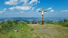
Virtual hike: Ascent Skalka to from Ondřejník, Czech Republic
Route: Ondřejník (890 m a.s.l.; 49.584633, 18.312938) – Ondřejník Pass (760 m a.s.l.; 49.574880, 18.310475) – Unnamed peak (903 m a.s.l.; 49.568016, 18.306313) – Stanovec (899 m a.s.l.; 49.561069, 18.309149) – Skalka sedlo (888 m a.s.l.; 49.557599, 18.305804) – Skalka (964 m a.s.l.; 49.552803, 18.300860)
Trail designation: blue trail, path marked on the map
Length: about 3,9 km
Walking time: about 1:20 h
Sum of approaches: 223 m
Sum down: 148 m
00:00:17 Ondřejník
00:23:22 Ondřejník Pass
00:43:06 Unnamed peak
00:55:59 Stanovec
01:01:50 Skalka Pass
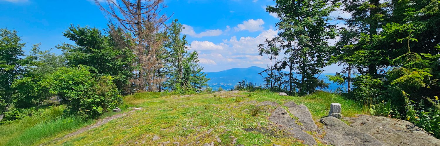
01:15:40 Skalka
Skalka – a peak with a height of 964 m a.s.l. in the Podbeskydy Uplands. It is located in the southern part of the Ondřejník Massif and is the highest peak of the Podbeskydy Uplands.
Hike recorded on June 29, 2024.