

The second part of the spring hike in the Branisko Mountains in Slovakia. From Branisko's highest peak, Smrekovica, we descend to Vyšný Slavkov via Veľká skala. The yellow trail leads along the Smrekovica ridge to the pass below Kravcová. Following the green trail, we pass through...
Region: Branisko Mountains
Branisko Mountains – a mountain range in eastern Slovakia, a separate geomorphological unit of the Fatra-Tatra Area. The highest peak is Smrekovica, at 1200 m a.s.l.
Branisko forms a single ridge stretching in a north-south direction, approximately 18 km long. To the north, it borders Bachurňa and to the east, Šarišská vrchovina. To the south, the Hornád, Dolinský, and Kluknavský streams separate it from the Černá hora massif. To the southwest, it borders the Hornád Basin and to the west, the Levočské vrchovina Mountains. The Chvalaboh Pass divides Branisko into two smaller mountain ranges: the northern and more massive Smrekovica, with its highest peak (1200 m a.s.l.), and the southern Sľubica, with its highest peak (1129 m a.s.l.).
Geologically, the mountain range can be divided into the northern Smrekovica zone and the southern Sľubice zone. The Smrekovica zone is an analogue of the Ľubietovský Veporice zone, composed of migmatites and granitoids, known as the Patrie complex. Above them lie Mesozoic limestones and Hronika dolomites. The Sľubice zone has a similar geologic structure to the nearby Čierna Hora unit. In the north, it is primarily formed by granitoids of the Bujanovského complex. The overlying stratum contains a weakly metamorphosed shelly complex known as the Ružín Unit. It is composed of rocks from the Upper Paleozoic to the Triassic, and locally also from the Jurassic, primarily sandstones, carbonates, and shales. The southern part of Sľubica is formed by the so-called Miklušov Complex, composed of migmatites, gneisses, and amphibolites. Its sedimentary shell is formed by the Hrabkov Unit, which has features characteristic of the Upper Paleozoic to the Middle Jurassic.
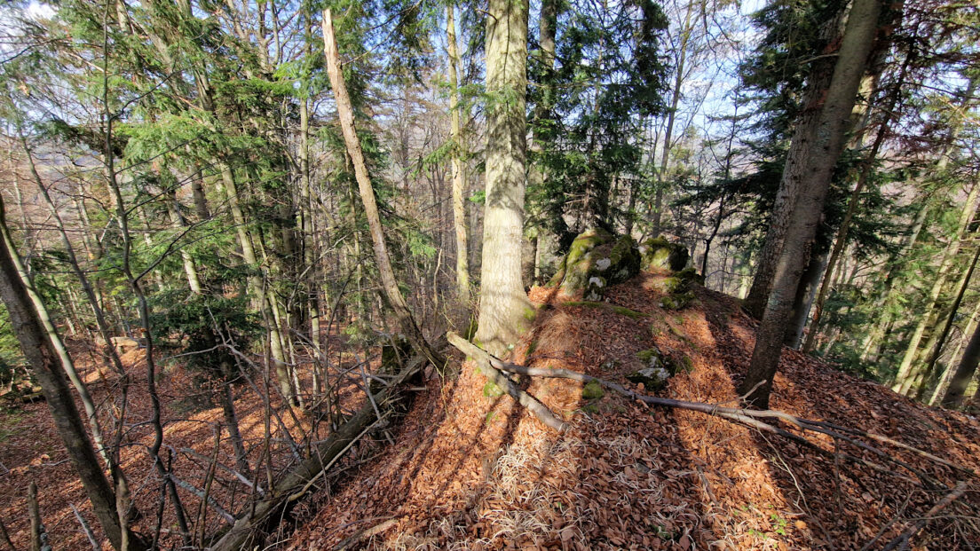
The mountain range is largely covered with forests. The lower montane forest occurs here up to an altitude of approximately 1050 m a.s.l. and is dominated by a mixed beech-fir forest with some oak, linden, and pine. The upper montane forest above 1050 m a.s.l. is dominated by a natural spruce forest.
The highest peaks: Smrekovica 1200 m a.s.l., Patria 1170 m a.s.l., Sľubica 1129 m a.s.l., Nad Bučom 1104 m a.s.l., Zvolanská 1064 m a.s.l., Petrova hora 1046 m a.s.l., Suchý hrb 1045 m a.s.l., Brezová 1042 m a.s.l., Kravcová 1036 m a.s.l., Rajtopíky 1036 m a.s.l., Rudník 1024 m a.s.l., Homôľka 970 m a.s.l., Zadný Moravec 959 m a.s.l., Boldigaň 939 m a.s.l., Príkre 935 m a.s.l., Veľká skala 930 m a.s.l.
Hikes in the Branisko Mountains:
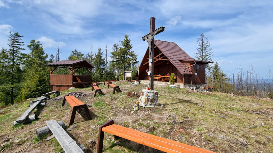
A spring hike through the Branisko Mountains in Slovakia. From Vyšný Slavkov, we ascend Smrekovica, the highest peak in this mountain range. The yellow trail leads through vast meadows to the Sedlo nad Hejdovom Pass. Below the pass, there's a viewpoint offering a panoramic view of the...