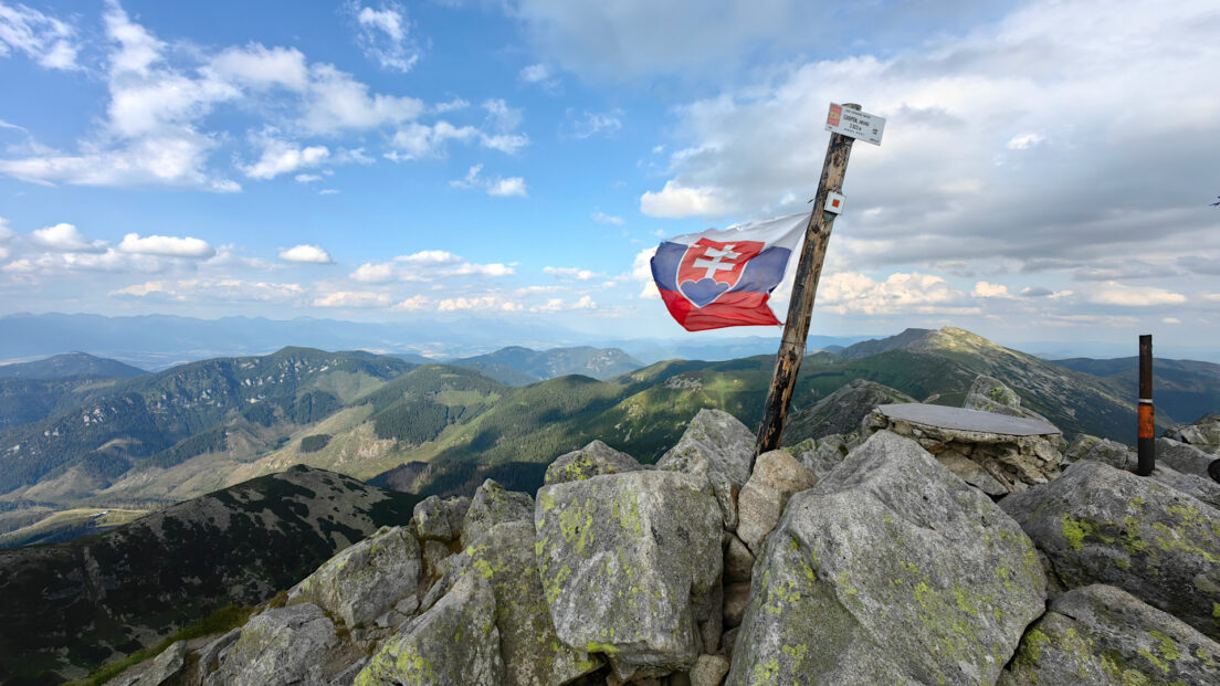
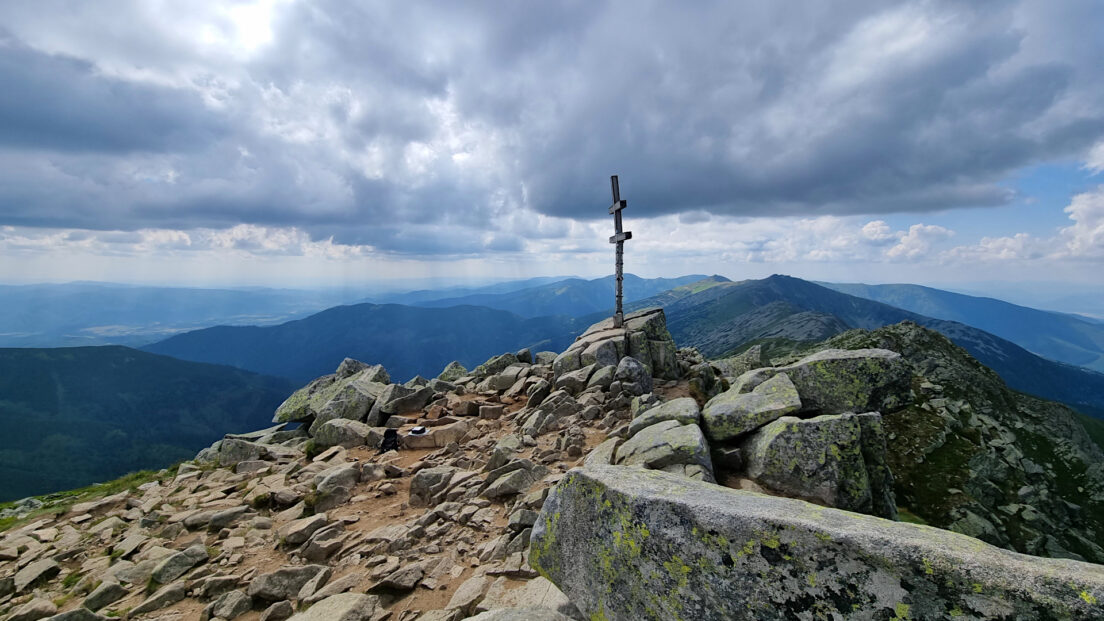
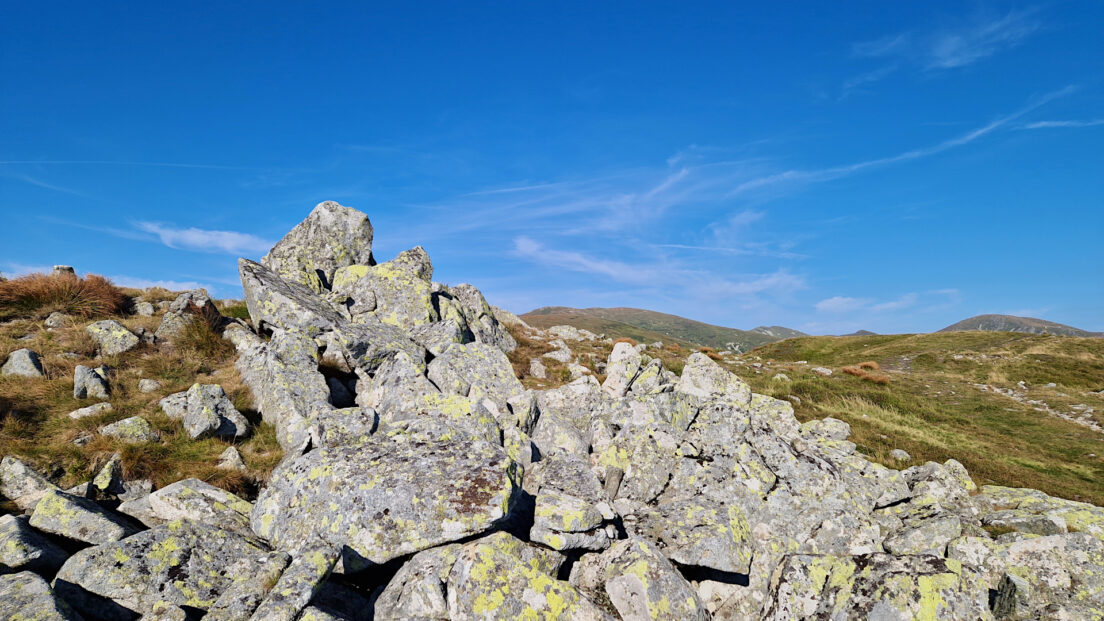
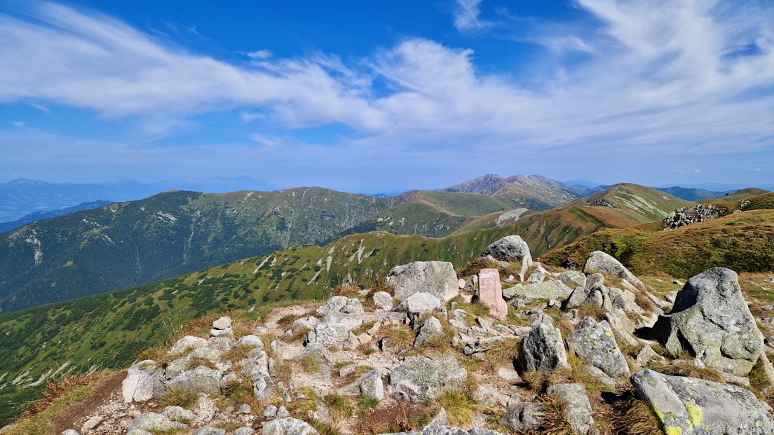
The second part of a scenic hike in the Low Tatras in Slovakia. We descend from the highest peak, Ďumbier, to the Krúpovo sedlo pass and continue eastward along the main ridge to Chopok. The peak has a distinctive dome-shaped structure made of large rock blocks. It offers distant views of...
Region: Low Tatras
Low Tatras – a mountain range in the Western Carpathians, in Slovakia. The highest peak is Ďumbier (2043 m a.sl.l.).
The Low Tatras are the largest and second highest mountain range in the Central Western Carpathians. It runs east-west for about 75 km and has a maximum width of almost 30 km. From the north, the Low Tatras are limited by the Liptovská kotlina and Popradská kotlina, behind which rise the Chočské vrchy and the Tatras. In the eastern part, between the Low Tatras and the aforementioned depressions, a small range of Kozie chrbty rises, separated by the Čierny Váh valley and the Hornád valley. In the east, the Low Tatras border the Slovenský raj, and are separated by the Vernárský potok valley. The southern slopes descend to Horehronské podolie, behind which stretch the Slovenské rudohorie ranges – Stolické vrchy and Veporské vrchy. In the west, behind the Hiadeľské sedlo Pass, the Starohorské vrchy rise. To the northwest of the Starohorské vrchy rises the Veľká Fatra, separated from the Low Tatras by the deep valleys of the Korytnica and Revúca.
The Low Tatras are divided into a western part, concentrating all the peaks exceeding 2,000 m – the so-called Ďumbierske Tatry and an eastern part – the so-called Kráľovohoľské Tatry. Both parts are divided by the Čertovica Pass.
In the Ďumbierské Tatras, a number of subordinate units have been distinguished: Prašivá – the part protruding to the southwest, includes a leveled fragment of the main ridge, covered with extensive meadows; Lúžňanská kotlina – a wide depression created by the Lúžňanka stream in less resistant rocks, separating the Prašivá group from Salatíny; Salatíny – a group formed by a number of limestone-dolomite ridges running meridionally, far to the north of the main ridge of the Low Tatras; Ďumbier – the highest and most popular tourist part, located to the east of the Prašivá group, with fragments of high-mountain relief; Demänovské vrchy – massifs lying to the north of the main ridge, composed of limestone and dolomites, between which deep valleys cut, e.g. Demänovská dolina and Jánska dolina. The Kráľovohoľské Tatry are divided into the following parts: Priehyba – an extensive unit encompassing the main ridge and its branches from the Čertovica pass to Ždiarske sedlo; Teplická kotlina – an extension of the Černý Váh valley at an altitude of approx. 900 m, with the village of Liptovská Teplička; Kráľova hoľa – the highest group in the eastern part of the Low Tatras, culminating in the peak of Kráľova hoľa, with small glacial cirques on the northern side of the ridge; Predná hoľa – the part protruding to the north-east, formed by domed, forested hills.
The Low Tatras massif is built, like the Tatras, from a Paleozoic crystalline core and Mesozoic sedimentary rocks occurring in the autochthonous (undisturbed) peak series and in two montane nappes – Križna and Choč. The crystalline core is made of weathering-resistant rocks – granites, crystalline schists, gneisses. In the north, a narrow band of peak series rocks adjoins the crystalline core. Further north, the Križna nappe is pushed over the peak series, consisting mainly of less resistant Cretaceous marls. In the western part of the range, the Choč nappe rests on the Križna nappe, while in the eastern part it rests directly on the autochthonous peak series.
The complex geological structure has greatly influenced the current form of the Low Tatras relief. A characteristic feature is the distinct asymmetry between the southern and northern sides of the mountains. The valleys descending to the south, towards the Hron Furrow, are shorter, and the ridges less branched than on the northern side. There are also no prominent and isolated massifs south of the main ridge, which are numerous in the north (e.g. Salatín, Siná, Poludnica, Ohnište, Capkovo). This difference is particularly visible in the Kráľovohoľská part of the Low Tatras.
The effects of the Pleistocene glaciation are mostly limited to the northern slopes, in the highest parts of the mountains. During the greatest cooling of the climate, there were a total of 16 Low Tatra glaciers, reaching a maximum length of 6 km (Krížská dolina, Štiavnica dolina). Some also existed on the southern side of the range (the longest in Bystrá dolina). Clear traces of glacial activity were particularly visible in the massifs of Ďumbier, Chopok, Dereš, Skalka and Chabenec. Small glaciers under Kráľova hoľa and Veľký Bok changed the terrain to a lesser extent.
Karst landforms have developed in many places on both sides of the mountains. A number of karst regions can be distinguished here, of which the most extensive and richest in karst phenomena is the Demänovský karst, covering an area of about 62 km². Both the longest cave in Slovakia – the Demänovský jaskynný system (35,358 m of known corridors) and the deepest – the Hipmanových jaskýň system (495 m deep) are located here.
The Low Tatras have a tiered vegetation system. About 67% of the area is covered by lower and upper montane forests. In the ridge areas there is a dwarf pine zone and in the highest peaks an alpine zone.
Hikes in the Low Tatras:
A scenic hike through the Low Tatras in Slovakia. We ascend the highest peak of these mountains, Ďumbier. From the mountain settlement of Trangoška, take the green trail along the Bystrianka River to the Ďumbierske sedlo pass. At the pass, where four trails intersect, we switch to the...
The second part of the summer hike in the Low Tatras. We descend from the Chabenec peak, from which there is a magnificent view of the nearby peaks of the Low Tatras and in the distance the Tatra Mountains, the Żywiec-Orawa Beskid Mountains, the Choč Mountains, the Little Fatra, the Velka...
Summer hike in the Low Tatras. From the village of Partizánska Ľupča we ascend Chabenec. We set off from the Chapel of Our Lady of the Rosary, heading east. We reach the Magurka trail intersection, from where we take the green trail through the upper montane forest to the top of Mestská...


