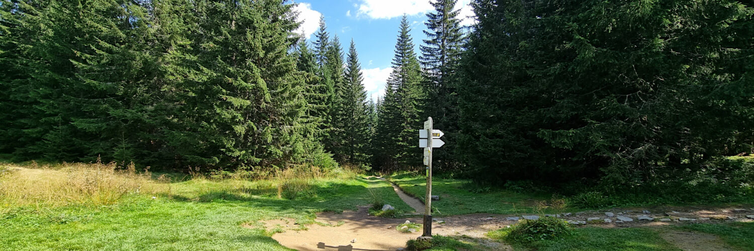
Virtual hike: Ascent to the Iwaniacka Pass from the Chochołowska Valley, Poland
Route: Chochołowska Valley, parking (912 m a.s.l.; 49.282661, 19.841692) – Siwa Glade, TNP (944 m a.s.l.; 49.276658, 19.831387) – Huciska Glade (984 m a.s.l.; 49.282661, 19.841692) – Starorobociańska Valley (1052 m a.s.l.; 49.244303, 19.811622) – Iwaniacka Valley (1104 m n.p.m.; 49.239067, 19.814395) – Iwaniacka Pass (1461 m n.p.m.; 49.232149, 19.836418)
Trail designation: green trail, yellow trail
Length: about 7.8 km
Walking time: about 2:30 h
Sum of approaches: 553 m
Sum down: 0 m
00:00:20 Chochołowska Valley, parking
00:00:32 Siwa Glade
00:03:36 A cross commemorating the pilgrimage of St. John Paul II
00:09:22 Siwa Glade, Tatra National Park
00:11:17 Suchy Stream
00:15:04 Siwa Woda Stream
00:17:01 Siwa Woda Stream
00:36:49 Chochołowski Stream
00:37:24 Huciska Glade
00:39:18 Chochołowski Stream
00:41:25 Chochołowski Stream
00:44:00 Chochołowski Stream
00:47:12 Chochołowski Stream
00:48:39 Dolina Dudowa
01:02:22 Starorobociańska Valley
01:05:59 Starorobociański Stream
01:16:17 Iwaniacka Valley
01:21:06 Iwaniacki Stream
01:23:38 Iwaniacki Stream
01:31:39 Iwaniacki Stream
01:36:22 Iwaniacki Stream
01:42:03 Iwaniacki Stream
02:06:47 Iwaniacka Pass
Iwaniacka Pass – a pass with a height of 1461 m a.s.l. in the Western Tatra Mountains separating Kominiarski Wierch (1829 m a.s.l.) and Suchy Wierch Ornaczański (1835 m a.s.l.).
Hike recorded on August 29, 2024.


