Virtual hike: Descent from Gęsia Szyja Mountain through Rusinowa Glade to Zazadnia, Poland
Route: Gęsia Szyja Mountain (1489 m a.s.l.; 49.258981, 20.076490) – Rusinowa Glade (1210 m a.s.l.; 49.262857, 20.090290) – Wiktorówki (1156 m a.s.l.; 49.265247, 20.086288) – Zazadnia, parking (945 m a.s.l.; 49.282197, 20.087706)
Trail designation: green trail, blue trail
Length: about 4.0 km
Walking time: about 1:20 h
Sum of approaches: 0 m
Sum down: 540 m
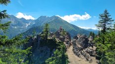
00:00:18 Gęsia Szyja
00:09:51 Gęsia Szyja Mountain
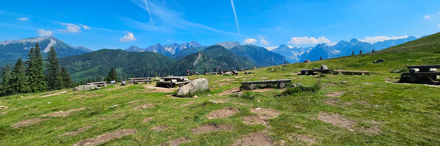
00:31:07 Rusinowa Glade
00:41:14 Rusinowa Polana
00:45:00 Crossing of trails
00:49:20 Złoty Potok
00:55:15 Wiktorówki
00:55:36 Marian Sanctuary in Wiktorówki
01:01:28 Stream
01:03:41 Stream
01:10:37 Stream
01:14:22 Stream
01:18:01 Stream
01:27:44 Zazadnia, parking
Rusinowa Glade – a glade in the Reglowe Tatra Mountains in Poland. It is located on the eastern slopes of Gęsia Szyja at an altitude of about 1180–1300 m a.s.l. Its total area is currently about 20 ha. To the north it descends to Złoty Potok and to the south to the Waksundzka Valley. To the east it borders Goły Wierch.
Hike recorded on June 19, 2024.