Virtual hike: Ascent to Malý Kriváň from Kúr Valley, Slovakia
Route: Kúr Valley (516 m a.s.l.; 49.200630, 18.920666) – Kukurišova Valley (691 m a.s.l.; 49.190385, 18.944482) – Priehyb Pass (1452 m a.s.l.; 49.182979, 18.978516) – Malý Kriváň Mountain (1671 m a.s.l.; 49.181118, 18.993028)
Trail designation: blue trail, red trail
Length: about 7.2 km
Walking time: about 3:30 h
Sum of approaches: 1151 m
Sum down: 30 m
00:00:34 Kúr Valley
00:01:49 Cross
00:04:09 Malá Fatra National Park
00:08:36 Kúr Stream
00:35:30 Kukurišova Valley
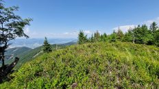
01:01:40 Suchý National Nature Reserve
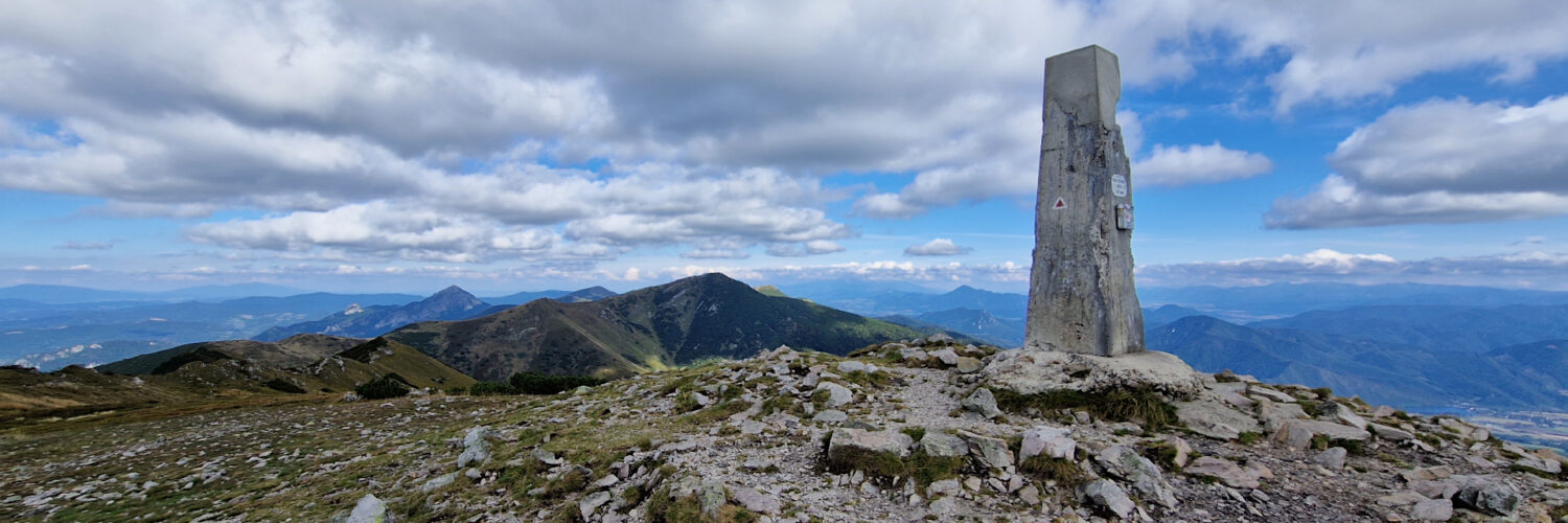
02:23:18 Priehyb Pass
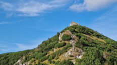
02:53:48 Malý Kriváň Mountain
Malý Kriváň – a peak with a height of 1671 m a.s.l. in the Little Fatra Mountains in Slovakia. It is the second highest peak in this mountain range after Veľký Kriváň. The massif of Malý Kriváň rises in the main ridge of the so-called Krivánska Fatra. From the west, through a shallow pass, it borders the peak of Priehyb, from the north-east it borders the peak of Koniarky, from the south there is a short ridge ending with the peak of Mojský grúň and the northern slopes descend steeply to Belianska Valley.
Hike recorded on September 11, 2024.