Virtual hike: Descent from Malý Kriváň through Stratenec to Kúr Valley, Slovakia
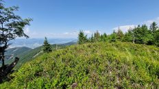
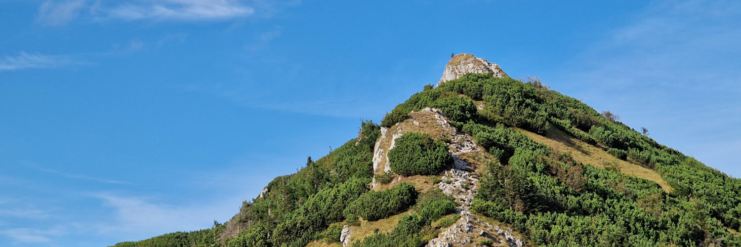
Route: Malý Kriváň Mountain (1671 m a.s.l.; 49.181118, 18.993028) – Priehyb Pass (1452 m a.s.l.; 49.182979, 18.978516) – Stratenec Mountain (1509 m a.s.l.; 49.180398, 18.967711) – Vráta Pass (1509 m a.s.l.; 49.177568, 18.966033) – Príslop pod Suchým (1216 m a.s.l.; 49.174415, 18.950975) – Javorina (1140 m a.s.l.; 49.177821, 18.937357) – Brestov Pass (970 m a.s.l.; 49.187274, 18.920200) – Kúr Valley (516 m a.s.l.; 49.201506, 18.919047)
Trail designation: red trail, green trail, yellow trail
Length: about 10.0 km
Walking time: about 4:00 h
Sum of approaches: 1221 m
Sum down: 69 m
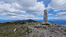
00:00:17 Malý Kriváň Mountain
00:37:11 Priehyb Pass
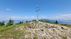
00:54:17 Stratenec
01:12:40 Vráta Pass
01:59:05 Príslop pod Suchým
02:20:35 Javorina
02:52:40 Brestov Pass
03:38:50 Going off the trail
03:48:21 Yellow trail
03:59:47 Kúr Valley
Stratenec – a peak at an altitude of 1509 m above sea level in the Little Fatra Mountains in Slovakia. It is located in the main ridge of the Malá Fatra Kriváňská, between Malý Kriváň, from which it is separated by the Priehyb Pass, and Biele Skaly, from which it is separated by the Vráta Pass.
Hike recorded on September 11, 2024.