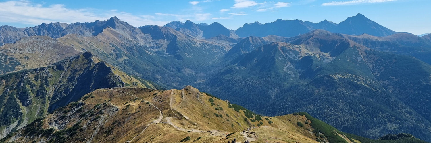
Virtual hike: Ascent to the Kopa Kondracka from Kuźnice, Poland
Route: Kuźnice (1021 m a.s.l.; 49.269026, 19.980164) – Brother Albert’s Hermitage (1095 m a.s.l.; 49.264201, 19.975392) – Kalatówki Glade (1156 m a.s.l.; 49.260404, 19.970226) – Kondratowa Glade (1311 m a.s.l.; 49.250800, 19.955619) – Hala Kondratowa PTTK Mountain Shelter (1333 m a.s.l.; 49.249647, 19.951727) – Kondracka Pass (1725 m a.s.l.; 49.246364, 19.932341) – Kopa Kondracka Mountain (2005 m a.s.l.; 49.236504, 19.932217)
Trail designation: blue trail, yellow trail
Length: about 6.5 km
Walking time: about 3:00 h
Sum of approaches: 1010 m
Sum down: 46 m
00:00:25 Kuźnice
00:02:08 Crossing of trails
00:03:16 Stream
00:10:14 Bystra Valley
00:13:46 Albertine Monastery in Kalatówki
00:13:57 Spring
00:14:56 Brother Albert’s Hermitage
00:18:06 Toll collection point
00:26:55 Kalatówki Glade
00:32:06 Bystra Valley
00:35:36 Chapel
00:49:44 Kondratowa Valley
00:54:55 Kondratowa Glade
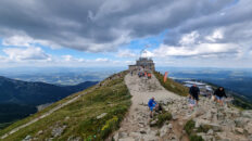
00:59:40 Hala Kondratowa PTTK Mountain Shelter
01:00:20 Crossing of trails
01:08:51 Małe Szerokie Valley
01:31:27 Spring
01:33:49 Spring
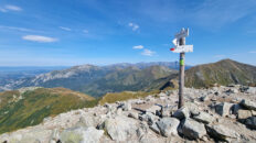
01:47:20 Kondracka Pass
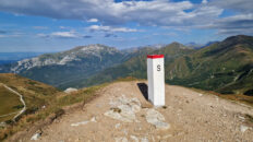
02:27:57 Kopa Kondracka Mountain
Kopa Kondracka – a peak at an altitude of 2005 m a.s.l. in the Western Tatra Mountains. The Polish-Slovak border runs through the peak. It is the easternmost peak in the Czerwone Wierchy Massif.
Hike recorded on September 20, 2024.