Virtual hike: Ascent to Ostry Wierch and Biała Skałęa from Izby, Poland
Route: Izby, bus stop (591 m a.s.l.; 49.438884, 21.066821) – Bieliczna, St. Michael the Archangel Church (659 m a.s.l.; 49.441284, 21.097087) – Pułaski Pass (761 m a.s.l.; 49.432126, 21.118243) – Ostry Wierch (930 m a.s.l.; 49.438465, 21.122965) – Biała Skała (921 m a.s.l.; 49.443727, 21.114360)
Trail designation: roads marked on the map, red trail, yellow trail
Length: about 6.7 km
Walking time: about 2:20 h
Sum of approaches: 350 m
Sum down: 31 m
00:00:17 Izby, bus stop
00:09:38 Biała River
00:20:03 Biała River
00:23:32 Biała River
00:25:35 Biała River
00:31:47 Bieliczna, St. Michael the Archangel Church
00:41:50 Beaver dam
00:44:12 Biała River
00:44:42 Beaver dam
00:52:47 Crossroads
00:59:31 Biała River
01:01:54 Crossroads
01:03:03 Biała River
01:08:38 Red trail
01:11:16 Pułaski Pass
01:26:56 Crossing of trails
01:31:49 Ostry Wierch
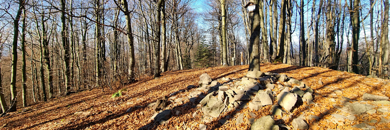
01:48:12 Biała Skała
Ostry Wierch – a peak with a height of 930 m a.s.l. in the Polish part of the Low Beskid Mountains, it is the second highest peak in the Polish part of this mountain range. It is located in the Ostry Wierch and Biała Skała range in the so-called Hańczowa Mountains. From the north-west it borders Biała Skała, from the south-east with the Cigelka peak. The northern slopes descend steeply to the Ropska Woda stream, the eastern slopes descend steeply to the Ropka stream and between them runs a short ridge from Ostry Wierch to the Hutniańska Pass. The southern slopes descend steeply to the Pułaski Pass and further to the Biała River.
Biała Skała – a peak with a height of 921 m a.s.l. in the Low Beskid Mountains in Poland. The third highest peak of this mountain range. It is located in the Ostry Wierch and Biała Skała range in the so-called Hańczowa Mountains. From the north-west it borders an unnamed peak with a height of 903 m a.s.l., from the south-east it borders Ostry Wierch (930 m a.s.l.). The north-eastern slopes descend steeply to the Ropska Woda stream, and the south-western slopes descend steeply to the Biała River.
Hike recorded on November 6, 2024.


