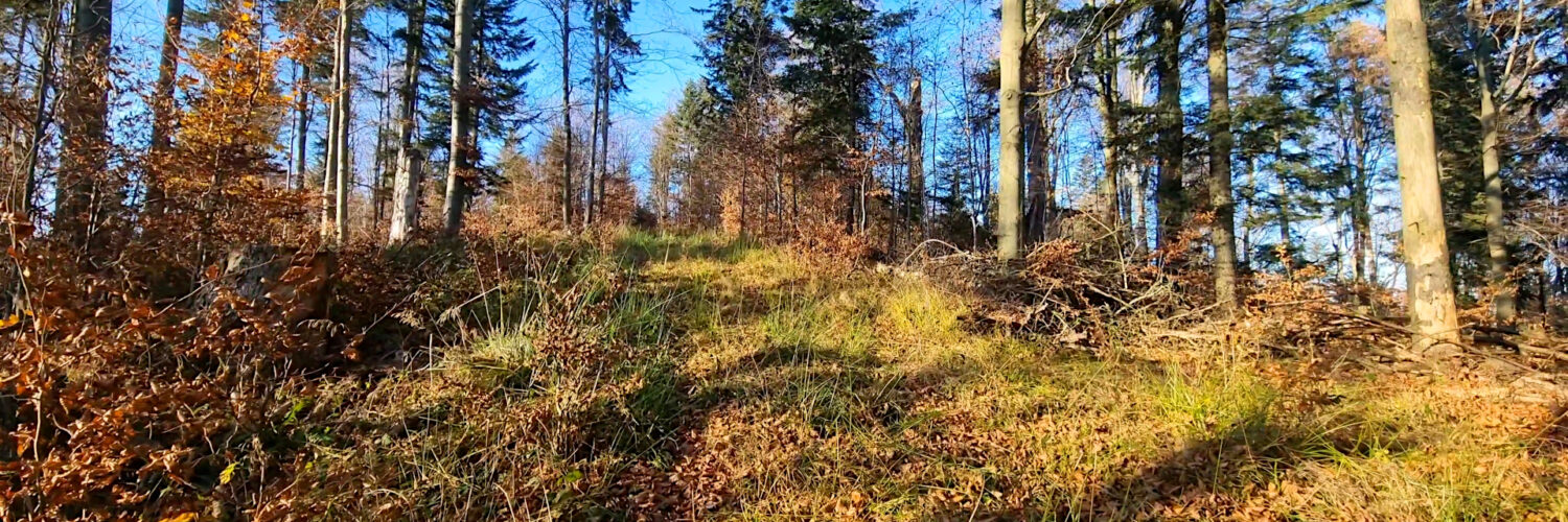
Virtual hike: Descent from Biała Skała through Stożek and Wnyki Mountain to Izby, Poland
Route: Biała Skała (921 m a.s.l.; 49.443727, 21.114360) – Unnamed peak (903 m a.s.l.; 49.446059, 21.109114) – Perehyba Pass (817 m a.s.l.; 49.447876, 21.103857) – Stożek Mountain (854 m a.s.l.; 49.448922, 21.099678) – Wnyki Mountain (863 m a.s.l.; 49.455466, 21.096545) – Red trail (757 m a.s.l.; 49.460710, 21.098591) – Izby, bridge (543 m a.s.l.; 49.459910, 21.065941)
Trail designation: path marked on the map, path unmarked on the map, red trail, yellow trail
Length: about 6.7 km
Walking time: about 2:20 h
Sum of approaches: 350 m
Sum down: 31 m
00:00:29 Biała Skała
00:07:56 Unnamed peak
00:18:37 Perehyba Pass
00:26:22 Stożek Mountain
00:38:17 The pass between the Stożek Mountain and the Wnyki Mountain
00:45:23 Wnyki Mountain
00:58:18 Red trail
01:33:36 Izby, bridge
Stożek Mountain – a peak at an altitude of 854 m a.s.l. in the Low Beskid Mountains It is located in the Ostry Wierch and Biała Skała range in the so-called Hańczowskie Mountains. From the east, through the Perehyba Pass, it borders an unnamed peak with a height of 903 m a.s.l., from the north, through a short ridge, it borders the Wnyki peak, and to the west, a ridge with the Wierch peak branches off. The north-western slopes are drained by an unnamed stream, which is a right tributary of the Biała River, and the steep, north-eastern slopes are drained by the Od Huty Stream.
Wnyki Mountain – a peak at an altitude of 863 m a.s.l. in the Low Beskid Mountains. It is located in the Ostry Wierch and Biała Skała ranges in the so-called Hańczowskie Mountains. From the south, it borders the Stożek peak, the eastern slopes descend to the Od Huty Stream, the northern and western slopes descend to an unnamed stream that is a right tributary of the Biała River.
Hike recorded on November 6, 2024.


