Virtual hike: Ascent to Velký Javorník from Veřovice, Czech Republic
Route: Veřovice, parking (452 m a.s.l.; 49.533436, 18.130730) – Veřovice – hájenka (505 m a.s.l.; 49.524609, 18.139501) – Padolí (550 m a.s.l.; 49.517649, 18.142304) – Pod Kamenárkou (655 m a.s.l.; 49.510987, 18.146070) – Rybníčky Mountain (700 m a.s.l.; 49.512896, 18.151928) – U pramene Jičínky (695 m a.s.l.; 49.513383, 18.154730) – Malý Javorník – crossroads (776 m a.s.l.; 49.517612, 18.162405) – Zadní Javorník (810 m a.s.l.; 49.513343, 18.168949) – Malý Javorník Mountain (838 m a.s.l.; 49.516470, 18.172991) – Zadní Javorník (810 m a.s.l.; 49.513343, 18.168949) – Malý Javorník – crossroads (776 m a.s.l.; 49.517612, 18.162405) – Velký Javorník Mountain (918 m a.s.l.; 49.527240, 18.160879)
Trail designation: yellow trail, red trail, blue trail, paths marked on the map
Length: about 8.2 km
Walking time: about 3:00 h
Sum of approaches: 586 m
Sum down: 131 m
00:00:31 Veřovice, parking
00:09:07 Jičínka River
00:12:20 Jičínka River
00:16:57 Veřovice – hájenka
00:19:29 Jičínka River
00:25:25 Jičínka River
00:29:45 Padolí
00:30:18 Jičínka River
00:49:01 Pod Kamenárkou
00:58:38 Rybníčky Mountain
01:03:28 U pramene Jičínky
01:16:14 Malý Javorník – crossroads
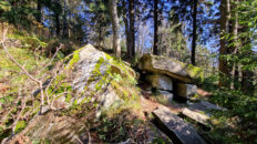
01:26:17 Zadní Javorník
01:28:30 Going off the trail
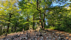
01:35:18 Malý Javorník Mountain
01:46:48 Return to the blue trail
01:48:15 Zadní Javorník
01:56:43 Malý Javorník – crossroads
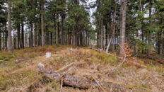
02:14:42 Velký Javorník Mountain
Velký Javorník – a peak at 918 m a.s.l. in the Moravian-Silesian Beskids in the Czech Republic. It is the highest peak of the Veřovické vrchy, the westernmost part of the Moravian-Silesian Beskids. To the southeast, it borders Malý Javorník (838 m a.s.l.), and to the southwest, Rybníčky (700 m a.s.l.). Its eastern slopes descend steeply into the Lubin River valley, its northern slopes also descend steeply into the Lichnovský Potok valley, and its western slopes descend into the Jičínka River valley, which separates Velký Javorník from Dlouhá (860 m a.s.l.).
Velký Javorník is covered in a mixed forest of lower montane forests, dominated by beech and spruce. The summit is partially exposed, and features an observation tower and the Chata Velký Javorník mountain shelter just below. The observation tower offers views of the Moravian-Silesian Beskids and the Moravian-Silesian Foothills (Podbeskydská pahorkatina). On clear days, the High Ash Mountains (Hrubý Jeseník) can also be seen.
The summit is where the blue Padolí – Velký Javorník hiking trail, the red Nový Jičín – Velký Javorník hiking trail, and the green Frenštát pod Radhoštěm – Velký Javorník hiking trail intersect.
The hike recorded on June 29, 2025.