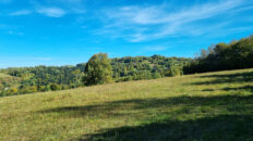
Virtual hike: Descent from Maków Mountain through Bryndzówka to Maków Podhalański, Poland
Route: Maków Mountain (648 m a.s.l.; 49.749546, 19.681814) – Bryndzówka (698 m a.s.l.; 49.741611, 19.694570) – Pod Stańkową (657 m a.s.l.; 49.738912, 19.709441) – Maków Podhalański, 3 May Street (364 m a.s.l.; 49.728393, 19.681422)
Trail designation: black trail, yellow trail
Length: about 6.1 km
Walking time: about 2:00 h
Sum of approaches: 83 m
Sum down: 363 m
00:00:16 Maków Mountain
00:17:54 Black trail
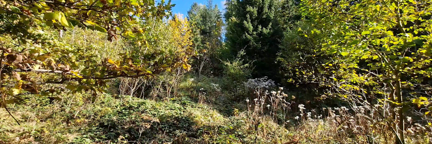
00:26:31 Going off the trail
00:30:19 Chapel
00:31:22 Bryndzówka
00:35:52 Return to the black trail
00:47:42 Chapel
00:59:16 Pod Stańkową crossing of trails
01:24:16 Stream
01:37:28 Chapel
01:38:13 Stream
01:44:01 Maków Podhalański
01:50:56 Maków Podhalański, 3 May Streetl
Bryndzówka Mountain – a peak at an altitude of 698 m above sea level in the Makowski Beskid. It is located in the eastern part of the Koskowa Góra Range, between Stańkowa from the east and Makowska Góra from the west. The northern slopes descend to the Jachówka Stream and the southern slopes descend to the Skawa River in Maków Podhalański.
Hike recorded on October 8, 2024.