Virtual hike: Ascent to Gęsia Szyja Mountain from Brzeziny, Poland
Route: Brzeziny, parking (1007 m a.s.l.; 49.287343, 20.035658) – Dry Water Valley, fork in the trail (1163 m a.s.l.; 49.274365, 20.034461) – Psia Trawka (1188 m a.s.l.; 49.269761, 20.036569) – Waksmundzka Pass (1418 m a.s.l.; 49.255394, 20.066029) – Gęsia Szyja Mountain (1489 m a.s.l.; 49.258981, 20.076490)
Trail designation: black trail, red trail
Length: about 6.5 km
Walking time: about 2:30 h
Sum of approaches: 505 m
Sum down: 19 m
00:00:18 Brzeziny, parking
00:07:11 Dry Water Stream
00:09:54 Dry Water Stream
00:12:59 Dry Water Stream
00:20:00 Dry Water Stream
00:23:42 Dry Water Stream
00:28:41 Dry Water Valley, fork in the trail
00:30:18 Dry Water Stream
00:33:52 Dry Water Stream
00:37:35 Psia Trawka
00:52:04 Wielka Pańszczycka Młaka
00:53:01 Jasicowa Woda Stream
00:56:18 Pańszczycki Stream
00:58:13 Pańszczycki Stream
01:02:29 Pańszczycki Stream
01:12:56 Wyżnia Pańszczycka Młaka
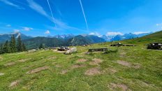
01:22:07 Waksmundzka Polana
01:23:44 Cross
01:24:03 Waksmundzka Polana
01:28:17 Waksmundzka Polana
01:31:59 Waksmundzka Pass
01:34:54 Crossing of trails
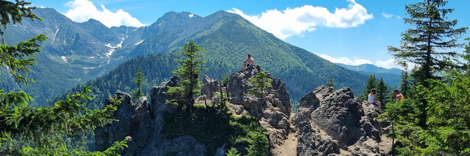
01:59:52 Gęsia Szyja Mountain
Gęsia Szyja – a peak with a height of 1489 m a.s.l. in the eastern part of the Tatra Mountains in Poland. It is the highest peak of the Gęsia Szyja massif.
Hike recorded on June 19, 2024.