Virtual hike: Descent from Zbludzkie Wierchy through Jasionik to Zbludza, Poland
Route: Zbludzkie Wierchy (820 m a.s.l.; 49.600966, 20.327314) – Unnamed peak (808 m a.s.l.; 49.603351, 20.328966) – Jasionik (776 m a.s.l.; 49.611836, 20.336997) – Zbludza (525 m a.s.l.; 49.595484, 20.350322)
Trail designation: red trail, path marked on the map
Length: about 4.9 km
Walking time: about 1:30 h
Sum of approaches: 70 m
Sum down: 361 m
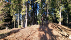
00:00:21 Zbludzkie Wierchy
00:03:39 Red trail
00:10:08 Unnamed peak
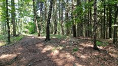
00:19:27 Going off the trail
00:39:56 Jasionik
00:59:16 Chapel
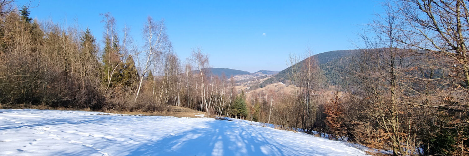
01:21:46 Zbludza
Jasionik (Jasiennik) – a peak at an altitude of 776 m a.s.l. in the Wyspowy Beskid. It is located in the northern part of the Zbludzkie Wierchy Range. From the south it borders the Zbludzkie Wierchy peak, the eastern slopes descend to the Zbludza Stream valley and the western slopes to the Szczawa Stream valley.
Hike recorded on February 20, 2025.