Virtual hike: Ascent to Kopacz Hill, Poland
Route: Horodna Hill (367 m a.s.l.; 49.603041, 22.187464) – Kopacz Hill (534 m a.s.l.; 49.619114, 22.183250) – Banna Góra (529 m a.s.l.; 49.621483, 22.179875) – Husakówka Hill (446 m a.s.l.; 49.625627, 22.173783) – Falejówka (325 m a.s.l.; 49.628919, 22.160618)
Trail designation: roads and paths marked on the map
Length: about 4.7 km
Walking time: about 2:00 h
Sum of approaches: 252 m
Sum down: 295 m
00:00:18 Horodna Hill
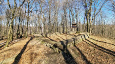
00:00:36 The remains of an ancient stronghold
00:03:36 The remains of an ancient stronghold
00:24:55 Brzozowa Dolina
00:32:37 Stream
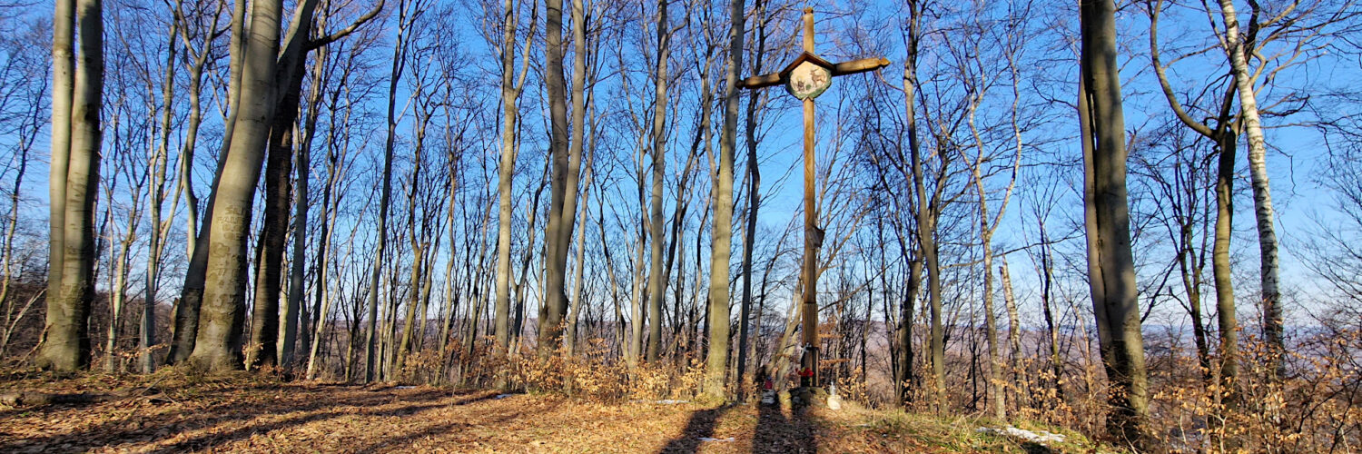
01:00:05 Cross
01:05:37 Kopacz Hill
01:12:31 Banna Góra
01:26:46 Husakówka Hill
01:43:32 Pijawka Stream
01:44:26 Falejówka
Kopacz – a hill 534 m above sea level in the Dynów Foothills in the Kopacz Massif. It is located in the central part of the massif, in a ridge running from the north-west to the south-east. It is the highest peak of this massif. From the north-west it borders the Banna Góra peak, the northern slopes descend to the valley of a stream that is a tributary of the Pijawka, the south-eastern slopes descend steeply to the Brzozowa Valley and the western slopes descend to the valley of a stream that is a tributary of the San.
The peak and slopes are covered with a submontane form of Carpathian beech forest, views of the neighboring hills are revealed between the trees only in the leafless period.
A path marked on the map leads to the peak.
The hike recorded on March 20, 2025.