Virtual hike: Ascent to Maków Mountain through Mioduszyna from Sucha Beskidzka, Poland
Route: Sucha Beskidzka, Main Square (330 m n.p.m.; 49.742342, 19.601058) – View point (410 m n.p.m.; 49.742776, 19.609804) – Mioduszyna (633 m n.p.m.; 49.754426, 19.624844) – Borysówka (610 m n.p.m.; 49.745369, 19.651526) – Crossroads at Maków Mountain (583 m n.p.m.; 49.745118, 19.675029) – Maków Mountain (648 m n.p.m.; 49.749546, 19.681814)
Trail designation: blue trail, black trail, green trail
Length: about 9.7 km
Walking time: about 3:00 h
Sum of approaches: 495 m
Sum down: 186 m
00:00:18 Sucha Beskidzka, Main Square
00:02:21 Stryszawka River
00:06:4 Skawa River
00:08:45 Chapel
00:11:41 Going off the trail
00:17:22 View point
00:22:41 Blue trail
00:36:21 Chapel
00:37:37 Makowski Dział housing estate
00:41:04 Chapel
00:47:06 Chapel
00:59:03 Mioduszyna
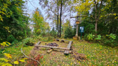
01:01:43 Tourist shelter
01:26:40 Chapel
01:43:37 Going off the trail
01:53:19 Borysówka
02:04:03 Return to the blue trail
02:24:16 Monument to the Memory of the Victims of the Zagórze Estate
02:25:21 Chapel
02:34:05 Crossroads at Maków Mountain
02:36:41 Monument to those who died in the fight for the liberation of Maków Podhalański in 1945.
02:46:00 Chapel
02:46:13 Going off the trail
02:56:37 Maków Mountain
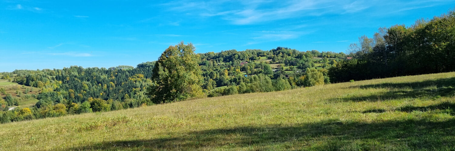
Maków Mountain – a peak at an altitude of 648 m a.s.l. in the Makowski Beskid. It is located in the western part of the Koskowa Góra Range. The north-eastern slopes descend to the Jachówka Stream, from the east it borders the Bryndzówka peak (697 m a.s.l.), the southern slopes descend to the Skawa River in Maków Podhalański and from the west it borders the Borysówka peak (610 m a.s.l.).
Hike recorded on October 8, 2024.