Virtual hike: Ascent to Minčol Mountain from Vrútky, Slovakia
Route: The mouth of Kamenna dolina (580 m a.s.l.; 49.121609, 18.878620) – Diaľna Mountain (908 m a.s.l.; 49.120524, 18.864967) – Okopy Pass (1285 m a.s.l.; 49.125460, 18.833111) – Minčol Mountain (1364 m a.s.l.; 49.124067, 18.827231)
Trail designation: blue trail
Length: about 4.3 km
Walking time: about 2:30 h
Sum of approaches: 785 m
Sum down: 0 m
00:00:22 The mouth of Kamenna dolina
00:01:53 Kamenný potok
00:20:28 Javorná
00:39:44 Diaľna
01:42:35 Okopy Pass
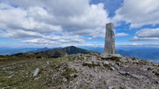
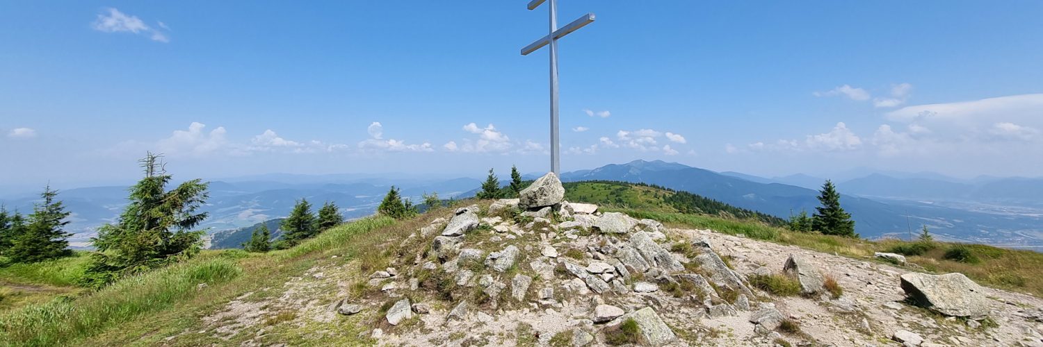
01:53:25 Minčol Mountain
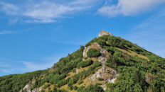
Minčol – a peak with a height of 1364 m a.s.l. in the Little Fatra Mountains, in the Central Western Carpathians in Slovakia. It is located in the northern part of the Lúčanská Malá Fatra.
Hike recorded on July 10, 2024.