Virtual hike: Ascent to Łopusze from Rozdziele, Poland
Route: Rozdziele Fire Department (406 m a.s.l.; 49.789220, 20.461046) – Upper Rozdziele (456 m a.s.l.; 49.789448, 20.439677) – West Łopusze (661 m a.s.l.; 49.800107, 20.448926) – Middle Łopusze (596 m a.s.l.; 49.799276, 20.459316) – East Łopusze (612 m a.s.l.; 49.800511, 20.468777) – Rozdziele Center (395 m a.s.l.; 49.788789, 20.465671)
Trail designation: blue trail
Length: about 7.7 km
Walking time: about 3:00 h
Sum of approaches: 307 m
Sum down: 320 m
00:00:17 Rozdziele Fire Department
00:22:31 Upper Rozdziele
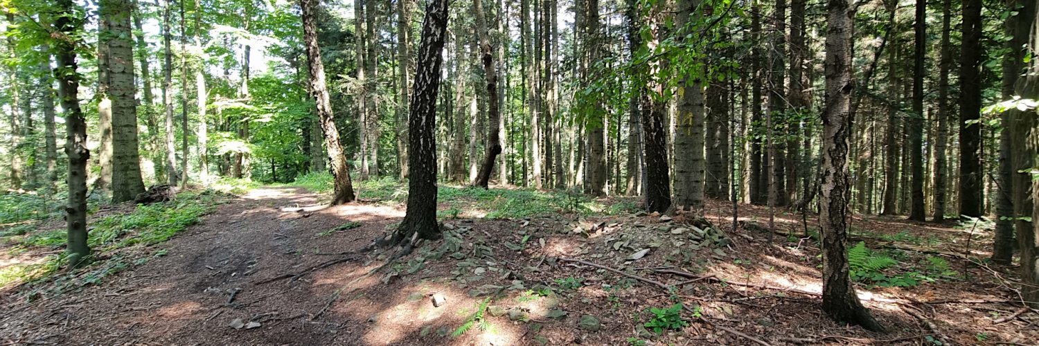
00:22:48 Blue trail
00:44:52 Crossing of the blue and the green trails
00:51:04 Going off the trail
00:54:23 West Łopusze
01:01:24 Return to the blue trail
01:02:28 The cross commemorating the site of the 2002 plane crash
01:09:21 Middle Łopusze
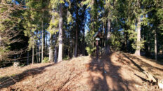
01:16:42 Chapel
01:25:54 East Łopusze
01:31:37 Chapel of the Divine Mercy in Rozdziele
01:33:31 Going off the trail
01:39:32 Chapel
01:50:42 Chapel of the Immaculate Heart of Mary “Under the Linden Trees” in Rozdziele
01:55:45 Rzycki Stream
01:57:46 Rozdziele Center
Łopusze – a mountain with three peaks in the Wyspowy Beskid, in the Łopusze and Kobyła Range. The peaks of Łopusze are: West Łopusze (661 m a.s.l.), Middle Łopusze (596 m a.s.l.), East Łopusze (612 m a.s.l.).
Hike recorded on July 18, 2024.