Virtual hike: Descent from Kopa Kondracka through Suchy Wierch Kondracki to Kuźnice, Poland
Route: Kopa Kondracka Mountain (2005 m a.s.l.; 49.236504, 19.932217) – Kopa Kondracka Pass (1863 m a.s.l.; 49.234259, 19.938745) – Suchy Wierch Kondracki (1890 m a.s.l.; 49.233636, 19.940322) – Hala Kondratowa PTTK Mountain Shelter (1333 m a.s.l.; 49.249647, 19.951727) – Kalatówki Glade (1174 m a.s.l.; 49.256966, 19.969623) – Kuźnice (1021 m a.s.l.; 49.269026, 19.980164)
Trail designation: red trail, green trail, blue trail,
Length: about 6.3 km
Walking time: about 2:30 h
Sum of approaches: 995 m
Sum down: 19 m
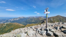
00:00:17 Kopa Kondracka Mountain
00:25:14 Kopa Kondracka Pass
00:27:25 Suchy Wierch Kondracki
00:30:33 Kondratowa Valley
01:18:02 Kondratowa Glade
01:25:10 Hala Kondratowa PTTK Mountain Shelter
01:27:28 Bystra Valley
01:50:49 Kalatówki Glade
02:11:47 Kuźnice
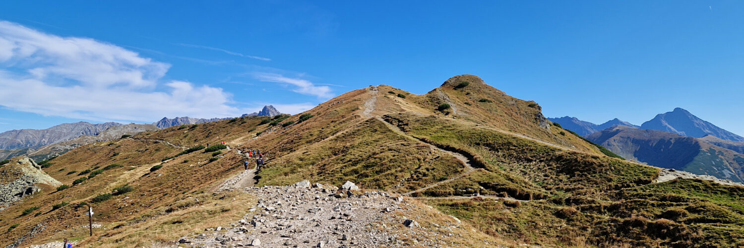
Suchy Wierch Kondracki – a peak at an altitude of 1895 m a.s.l. in the Western Tatras. It has two peaks, the higher one on the Slovak side is 1985 m a.s.l. and the lower one on the Polish side is 1890 m a.s.l. It is located in the main ridge of the Tatras, between Kopa Kondracka (2005 m a.s.l.) and Mała Sucha Czuba Kondracka (1832 m a.s.l.).
Hike recorded on September 20, 2024.