Virtual hike: Ascent to Veľká Javorina Mountain from Kríže, Slovakia
Route: Kríže (552 m a.s.l.; 49.242529, 21.149620) – Panteliš (899 m a.s.l.; 49.218995, 21.148472) – Lysina Pass (1029 m a.s.l.; 49.207168, 21.139629) – Veľká Javorina (1099 m a.s.l.; 49.198590, 21.146288)
Trail designation: green trail, blue trail
Length: about 5.9 km
Walking time: about 2:20 h
Sum of approaches: 546 m
Sum down: 0 m
00:00:37 Kríže
00:01:17 Crossing of trails
00:05:14 Crossing of trails
00:07:01 Solisko Stream
00:12:44 Solisko Stream
00:14:05 Solisko Stream
00:59:44 Panteliš
01:33:42 Lysina Pass
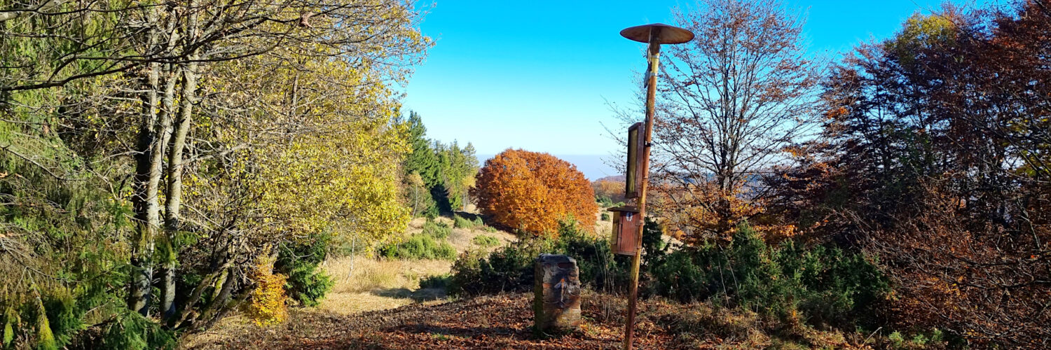
01:41:48 Cross
01:55:57 Veľká Javorina
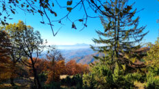
Veľká Javorina – a peak at an altitude of 1099 m a.s.l. in the central part of the Čergov Mountains in Slovakia. It is the second highest peak of this mountain range. Veľká Javorina is located in the main ridge of the Čergov Mountains, from the east it borders the peak of Čergov (1050 m a.s.l.) and from the north-west through the Lysina Pass it borders the peak of Solisko (1057 m a.s.l.). The northern slopes descend to the Javorový potok Valley, the southern slopes descend to the Jarabinček Stream and the western slopes descend to the Tokáreň Stream. On the southern slopes there is the Vlčia Private Nature Reserve.
Hike recorded on October 25, 2024.