Virtual hike: Ascent to Wielka Racza from Rycerka Górna, Poland
Route: Rycerka Górna, parking (726 m a.s.l.; 49.424929, 19.007372) – Wielka Racza Mountain (1236 m a.s.l.; 49.413090, 18.968976)
Trail designation: yellow trail
Length: about 4.4 km
Walking time: about 1:50 h
Sum of approaches: 520 m
Sum down: 14 m
00:00:18 Rycerka Górna, parking
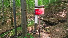
00:17:16 Stream
01:14:56 Wielka Racza PTTK Mountain Shelter
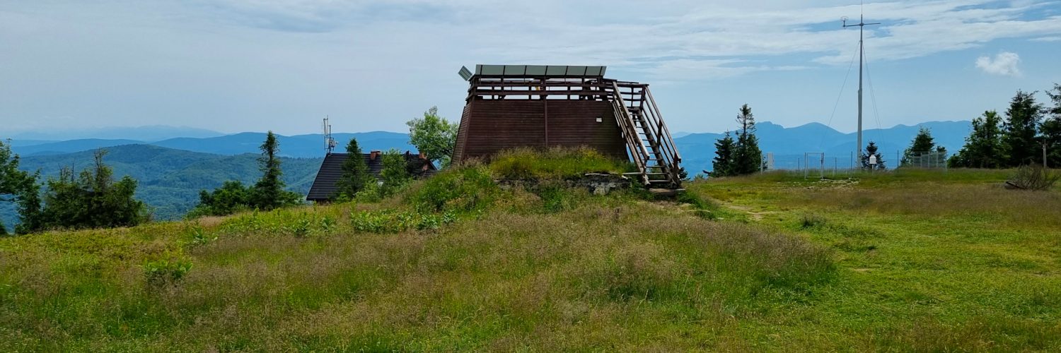
01:17:05 Wielka Racza Mountain
Wielka Racza Mountain – the highest peak of the Żywiec-Kysuce Beskid Mountains with a height of 1236 m a.s.l. It is located in the southern part of the Polish Żywiec-Kysuce Beskid Mountains, on the Polish-Slovak border. It belongs to the Wielka Racza Group mountain range stretching from the Zwardoń Pass to the Glinka Pass.
Hike recorded on June 26, 2024.