Virtual hike: Descent from Wysokie Bereście through Wysokie Bereście Południowe to Wojkowa, Poland
Route: Wysokie Bereście Hill (893 m a.s.l.; 49.366232, 21.026367) – Wysokie Bereście Południowe Hill (839 m a.s.l.; 49.358557, 21.033396) – Kamienny Horb Hill (827 m a.s.l.; 49.351990, 21.021786) – Wojkowa (645 m a.s.l.; 49.342990, 20.996439)
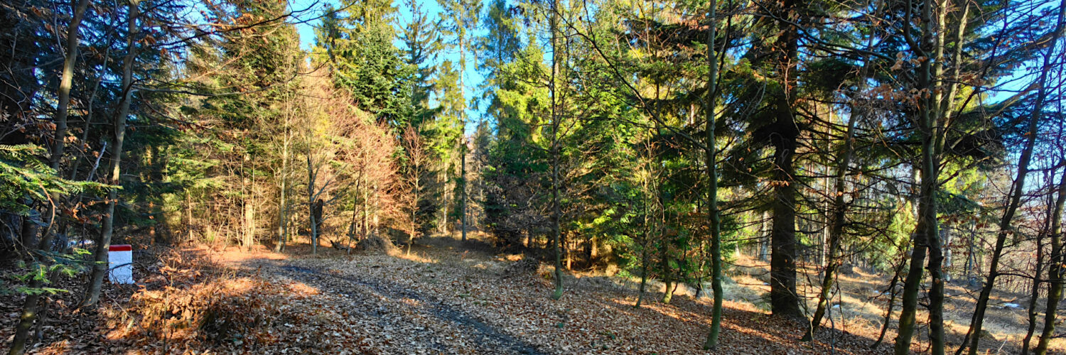
Trail designation: paths marked on the map, yellow trail
Length: about 6.6 km
Walking time: about 2:00 h
Sum of approaches: 112 m
Sum down: 356 m
00:00:17 Wysokie Bereście Hill
00:38:02 Wysokie Bereście Południowe Hill
00:57:37 Kamienny Horb Hill
01:29:40 Stream
01:34:09 Crossing of trails
01:47:30 Wojkowa
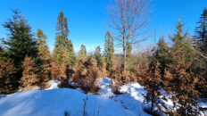
Wysokie Bereście Południowe – a hill at an altitude of 839 m a.s.l. in the Poprad Foothills. It is located in a ridge running from Wojkowa to the Tylicka Pass. From the southwest it borders the Kamienny Horb peak and from the northeast the Pusta peak. The northern slopes descend to the Pusta stream valley and the southern ones to the Vesná stream valley. To the southeast there is a side ridge with the Motova peak descending to the town of Snakov in Slovakia.
The peak is covered with forest. The Polish-Slovak border runs through here. Two hiking trails have been marked here, the Slovak East Carpathian Trail (Východokarpatská magistrála) marked in red and the Polish Muszynka – Żegiestów trail marked in yellow.
Wysokie Bereście Południowe Hill is located in the area of the Poprad Landscape Park.
The hike recorded on March 6, 2025.