Virtual hike: Descent from Wielka Racza through Śrubita Reserve to Rycerka Górna, Poland
Route: Wielka Racza Mountain (1236 m a.s.l.; 49.413090, 18.968976) – Mała Racza Glade (1173 m a.s.l.; 49.407008, 18.973281) – Mała Racza Mountain (1153 m a.s.l.; 49.402090, 18.971227) – Orło Pass (1063 m a.s.l.; 49.399042, 18.975288) – Orło Mountain (1120 m a.s.l.; 49.395244, 18.979855) – Śrubita Pass (994 m a.s.l.; 49.398030, 18.996407) – Śrubita Glade (1016 m a.s.l.; 49.399482, 19.000659) – Beskid Green Path (947 m a.s.l.; 49.401060, 19.007933) – Śrubita Reserve (964 m a.s.l.; 49.402578, 19.011857) – Rycerka Górna, parking (726 m a.s.l.; 49.424929, 19.007372)
Trail designation: red trail, green trail, Beskid Green Path
Length: about 8.7 km
Walking time: about 3:00 h
Sum of approaches: 58 m
Sum down: 583 m
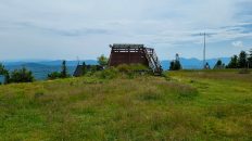
00:00:17 Wielka Racza Mountain
00:07:58 Wielka Racza PTTK Mountain Shelter
00:20:42 Mała Racza Glade
00:25:11 Fork of the trail
00:30:56 Mała Racza Mountain
00:38:41 Going off the trail
00:39:15 Orło Pass
00:50:32 Orło Mountain
00:58:00 Red trail
01:10:58 Śrubita Pass
01:17:42 Śrubita Glade
01:33:02 Śrubita Stream
01:34:56 Going off the trail
01:41:31 Beskid Green Path
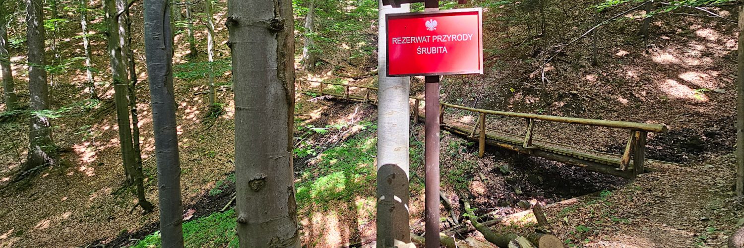
01:49:08 Śrubita Reserve
02:23:57 Śrubita Stream
02:28:58 Śrubita Stream
02:34:05 Śrubita Stream
02:36:46 Śrubita Stream
02:39:54 Racza Stream
02:43:00 Rycerka Górna, parking
Śrubita Reserve – a strict nature reserve in the Żywiec-Kysuce Beskid Mountains. It is located on the western slopes of Mount Bugaj, in the Śrubita Stream valley, in the Wielka Racza Range.
Hike recorded on June 26, 2024.