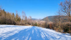
Virtual hike: Ascent to Zbludzkie Wierchy from Kamienica, Poland
Route: Kamienica, parking (445 m a.s.l.; 49.575273, 20.346497) – Mount Bystra (668 m a.s.l.; 49.588542, 20.329149) – Kamienne Mountain (742 m a.s.l.; 49.591671, 20.334395) – Zbludzkie Wierchy (820 m a.s.l.; 49.600966, 20.327314)
Trail designation: red trail
Length: about 4.9 km
Walking time: about 1:30 h
Sum of approaches: 339 m
Sum down: 20 m
00:00:19 Kamienica, parking
00:01:25 Kamienica River
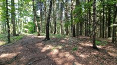
00:26:08 Going off the trail
00:40:01 Mount Bystra
00:45:58 Pass between Mount Bystra and Kamienne Mountain
00:52:29 Red trail
00:55:13 Going off the trail
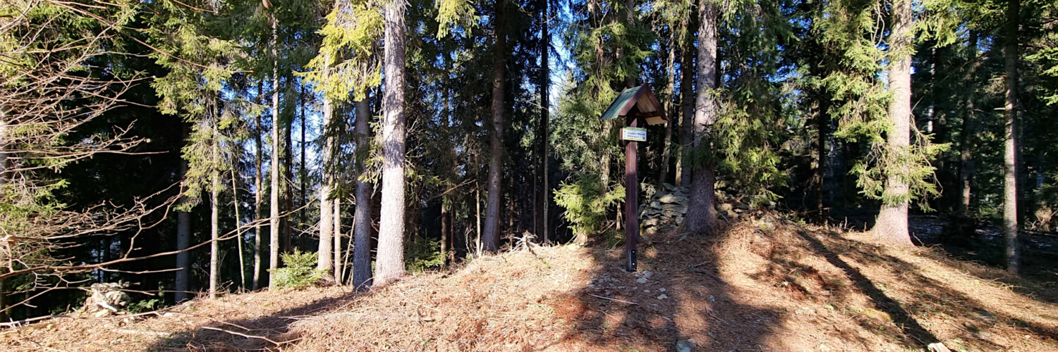
00:57:13 Kamienne Mountain
01:00:28 Return to the red trail
01:23:17 Going off the trail
01:25:49 Zbludzkie Wierchy
Zbludzkie Wierchy – a peak at an altitude of 820 m a.s.l. in the Wyspowy Beskid. It is the highest peak of the Zbludzkie Wierchy Range and is located in its central part. The western slopes descend steeply to the Kamienica River and the eastern slopes descend to the Zbludza stream valley. From the north it borders the Jasiennik peak and from the south the Kamienne peak.
The film was recorded on February 20, 2025.