Virtual hike: a walk along the Orłowiny Range, Poland
Route: Nowa Huta, Łapigrosz (290 m a.s.l.; 50.759658, 20.936803) – Zamczysko Hill (421 m a.s.l.; 50.757006, 20.956926) – Wojteczki (373 m a.s.l.; 50.770048, 20.978828) – Kieł Hill (452 m a.s.l.; 50.768941, 20.990576)
Trail designation: blue trail
Length: about 5.5 km
Walking time: about 1:50 h
Sum of approaches: 225 m
Sum down: 72 m
00:00:20 Nowa Huta, Łapigrosz
00:02:15 Crossing of trails
00:19:25 Zamczysko Hill, lower peak
00:29:58 Zamczysko Hill
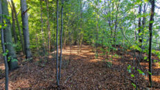
01:04:25 Mid-forest meadow – permanent grassland
01:15:09 Wojteczki
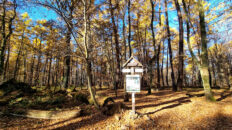
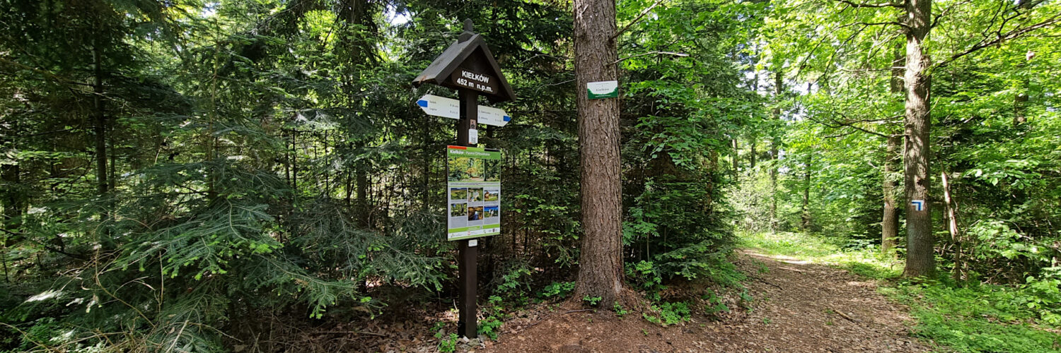
01:30:56 Kieł Hill
Kieł (Kiełki, Kiełków) – a hill at an elevation of 452 meters a.s.l. in the Świętokrzyskie Mountains. It is the highest peak of the Orłowiny Range. To the west, it borders Perlikowa Hill and to the south, Kamionka Hill. The northern slopes gently slope down to an unnamed stream, while the eastern slopes descend to the village of Sądek. The summit and its slopes are entirely covered with forest.
The blue Edmund Padechowicz hiking trail from Chęciny to Łagów runs through the summit.
To the southwest of the summit was the village of Wojteczki. It was founded around 1616 by Adam Woyteczek. In 1940, the village was relocated to Małe Jodło in the Kunów commune, where wooden houses relocated from the peak still stand today.
To the north of the summit was the village of Orłowiny. From 1867 to 1954, it belonged to the Łagów commune in Opatów County, Kielce Governorate. In the Second Polish Republic, it belonged to the Kielce Voivodeship, where on November 2, 1933, it formed a commune called Orłowiny in the Łagów commune. During World War II, it was incorporated into the General Government. In March 1943, the village was pacified by the German gendarmerie and significantly depopulated. Of the 27 houses, only five remained. After the war, the residents received land from the land reform in the Kaliszany estate near Opatów. Currently, the residents of Orłowiny meet at the site of the old village on the first Sunday in September. Commemorations take place under a wooden cross engraved with the date of regaining independence, 1918.
The hike was recorded on May 21, 2025.