

Virtual hike: Ascend to Bąków Mountain from Jeleśnia, Poland
Route: Jeleśnia, Janikowa Grapa Street (421 m a.s.l.; 49.659777, 19.312114) – Beskid (725 m a.s.l.; 49.666954, 19.327918) – Madeje (704 m a.s.l.; 49.672412, 19.337525) – Garlejów Groń (728 m a.s.l.; 49.675377, 19.346607) – Gracówka (733 m a.s.l.; 49.677760, 19.352287) – Zawaliska (756 m a.s.l.; 49.681614, 19.351736) – Bigosy (740 m a.s.l.; 49.683114, 19.356231) – Bąków (766 m a.s.l.; 49.690850, 19.367810) – Ubocz (755 m a.s.l.; 49.695136, 19.381302) – Baków Groń (756 m a.s.l.; 49.697207, 19.390971) – Hucisko, church (597 m a.s.l.; 49.692417, 19.401000)
Trail designation: yellow trail, blue trail
Length: about 10.6 km
Walking time: about 3:20 h
Sum of approaches: 550 m
Sum down: 393 m
00:00:28 Jeleśnia, Janikowa Grapa Street
00:43:24 Beskid
00:57:13 Madeje
01:13:01 Garlejów Groń
01:21:28 Gracówka
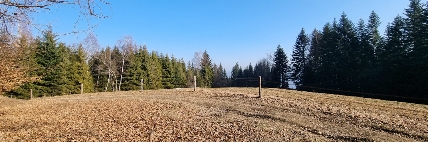
01:27:26 Going off the trail
01:31:31 Zawaliska
01:35:53 Return to the yellow trail
01:41:46 Going off the trail
01:43:13 Bigosy
01:45:36 Return to the yellow trail
02:01:46 Chapel
02:05:34 Bąków
02:30:25 Ubocz
02:34:37 Crossing of trails
02:41:38 Baków Groń / Gachowizna
02:57:28 Hucisko, church
Bąków (Czeretnik) – a peak at an altitude of 766 m a.s.l. in the Pewel-Krzeczów Ranges. It is the highest peak of the Pewel Range. It is located in the central part of the range between the Bigosy peak in the southwest and the Ubocz peak in the northeast. The southeast slopes descend to the Pewlica Jeleśniańska Stream and the northwest slopes to the Pewlica Pewelska Stream.
Hike recorded on February 11, 2025.