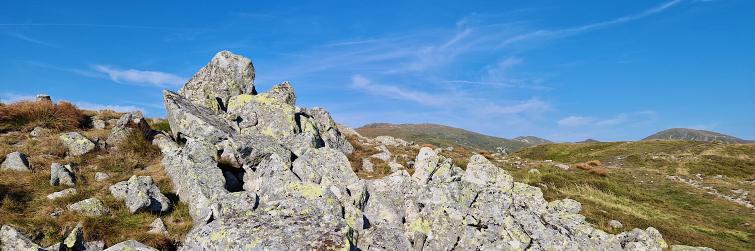
Virtual hike: Descent from Chabenec Mountain through Ďurková Mountain to Partizánska Ľupča, Slovakia
Route: Chabenec (1955 m a.s.l.; 48.942033, 19.493461) – Crossroads above Ďurková Pass (1730 m a.s.l.; 48.935731, 19.466846) – Ďurková Pass (1709 m a.s.l.; 48.932963, 19.462538) – Ďurková Mountain (1750 m a.s.l.; 48.931075, 19.458380) – Unnamed pass (1598 m a.s.l.; 48.950097, 19.440782) – Zámostská hoľa (1630 m a.s.l.; 48.928414, 19.437432) – Magurka (1032 m a.s.l.; 48.943720, 19.429793) – Partizánska Ľupča, Chapel of the Holy Rosary of the Virgin Mary (1016 m a.s.l.; 48.944095, 19.426312)
Trail designation: red trail, yellow trail Length: about 7.5 km
Walking time: about 3:00 h
Sum of approaches: 53 m
Sum down: 988 m
00:01:09 Chabenec
00:28:29 The border of the Skalka National Nature Reserve
00:34:47 Crossing od trails
00:39:22 Crossroads above Ďurková Pass
00:46:12 Ďurková Pass
00:55:40 Ďurková Mountain
01:19:19 Unnamed pass
01:29:13 Crossing of trails
01:30:49 Zámostská hoľa
01:48:30 Crossing of trails
02:25:28 Bašovňa
02:36:08 Magurka
02:39:29 Partizánska Ľupča, Chapel of the Holy Rosary of the Virgin Mary
Ďurková – a peak with a height of 1750 m a.s.l. in the Low Tatras in Slovakia. It is located in the western part of the Low Tatras, in their main ridge, between Zámostská hoľa (1630 m a.s.l.) in the west and Chabenec (1955 m a.s.l.) in the north-east.
Hike recorded on August 23, 2024.


