Virtual hike: Descent from Wielka Cisowa Grapa through Kiczera and Żar to Międzybrodzie Żywieckie, Poland
Route: Wielka Cisowa Grapa Mountain (853 m a.s.l.; 49.778144, 19.261919) – Szeroka Pass (803 m a.s.l.; 49.777305, 19.266836) – Ruins of a stone hut (782 m a.s.l.; 49.779609, 19.262996) – Wielki Cisownik Mountain (807 m a.s.l.; 49.783561, 19.259924) – Izebnicka Pass (693 m a.s.l.; 49.787088, 19.256979) – Kiczera Mountain (827 m a.s.l.; 49.791672, 19.249356) – Żar Mountain (761 m a.s.l.; 49.785579, 19.228588) – Międzybrodzie Żywieckie, lower funicular station (451 m a.s.l.; 49.775223, 19.222480)
Trail designation: red trail, black trail, paths marked on the map
Length: about 5.9 km
Walking time: about 2:00 h
Sum of approaches: 147 m
Sum down: 540 m
00:00:17 Wielka Cisowa Grapa Mountain
00:07:26 Szeroka Pass
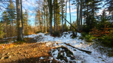
00:16:58 Ruins of a stone hut
00:21:09 Going off the trail
00:28:16 Wielki Cisownik Mountain
00:39:22 Crossing of trails
00:41:31 Izebnicka Pass
01:01:18 Kiczera Mountain
01:16:21 Chapel
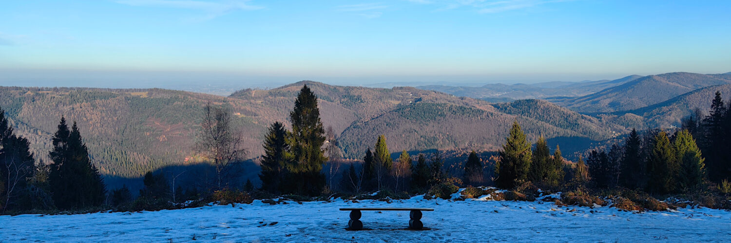
01:33:08 Żar Mountain
01:57:29 Międzybrodzie Żywieckie, lower funicular station
Kiczera (Kiczora) – a peak at an altitude of 827 m a.s.l. in the Mały Beskid Mountains. It is located in the eastern part of the Mały Beskid Mountains, informally called the Andrychów Beskid, in a ridge extending north-west from Wielka Cisowa Grapa Mountain, which descends through Wielki Cisownik Mountain, Izebnicka Pass, Kiczora and Żar Mountain to Międzybrodzie Lake. From the south-east, through Izebnicka Pass, Kiczera Mountain borders Wielki Cisownik Mountain and from the west it borders Żar Mountain. To the north-east, a ridge extends from Kiczera Mountain, descending to the Wielka Puszcza valley. To the north and then turning west, a ridge extends from Kiczera Mountain, which descends through the Snoza peak to the Soła River in the town of Porąbka. Kiczera Mountain is made of thick-bedded Godula sandstones, which have a fine-grained structure, with a slightly blue or green tint.
Hike recorded on December 2, 2024.