Virtual hike: Descent from Jaworzyna Krynicka through Mount Krzyżowa to Krynica-Zdrój, Poland
Route: Jaworzyna Krynicka Mountain (1114 m a.s.l.; 49.418046, 20.895512) – Jaworzyna Krynicka PTTK Mountain Shelter (1028 m a.s.l.; 49.421366, 20.893649) – Diabelski Kamień (965 m a.s.l.; 49.419909, 20.907355) – Czarny Potok Valley (638 m a.s.l.; 49.419592, 20.926475) – Krzyżowa Pass (766 m a.s.l.; 49.422988, 20.933531) – Mount Krzyżowa (812 m a.s.l.; 49.418372, 20.941862) – Krynica-Zdrój, Tadeusz Kościuszko Street (587 m a.s.l.; 49.414510, 20.954798)
Trail designation: green trail, yellow trail
Length: about 7.0 km
Walking time: about 2:20 h
Sum of approaches: 228 m
Sum down: 731 m
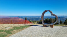
00:00:19 Jaworzyna Krynicka Mountain
00:16:01 Crossing of trails
00:22:57 Jaworzyna Krynicka PTTK Mountain Shelter
00:24:54 Monument to John Paul II
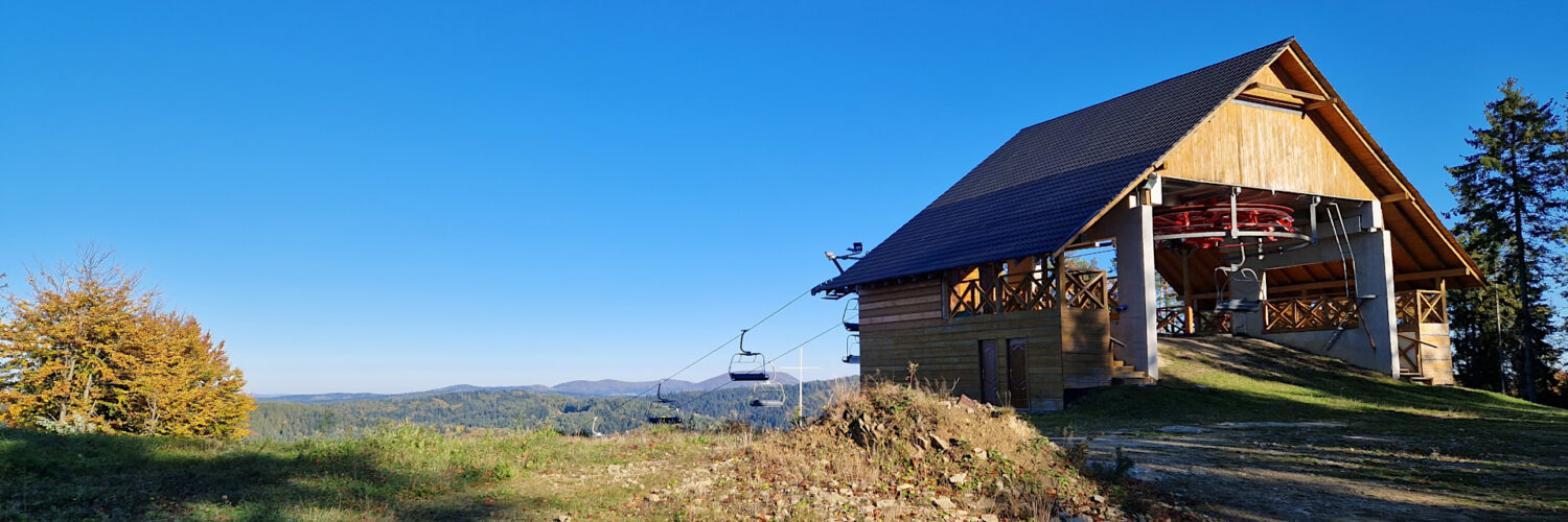
00:40:57 Ski slope
00:42:35 Crossing of trails
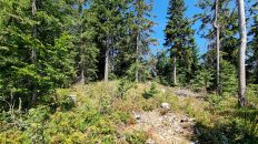
00:44:43 Diabelski Kamień
00:49:43 Ski slope
00:52:53 Crossing of trails
00:55:03 Ski slope
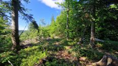
01:20:23 Stream
01:21:46 Czarny Potok
01:23:19 Czarny Potok Valley
01:38:33 Krzyżowa Pass
01:40:01 Crossing of trails
01:54:35 Chapel
02:05:40 Crossing of trails
02:19:15 Krynica-Zdrój, Tadeusz Kościuszko Street
Mount Krzyżowa – a peak in the Sącz Beskid Mountains. It has two peaks: a lower, southern one at an altitude of 812 m a.s.l. and a higher northern one at an altitude of 821 m a.s.l. It is located in the eastern part of the Jaworzyna Range, in the Drabiakówka ridge separating the Kryniczanka valley from the Czarny Potok valley. The eastern slopes descend to Kryniczanka in Krynica-Zdrój, from the north through the Krzyżowa Pass it borders Drabiakówka (892 m a.s.l.), the western slopes descend to Czarny Potok and from the south it borders Holica (697 m a.s.l.).
Hike recorded on October 17, 2024.