Virtual hike: Ascent to Ondřejník from Pstruží, Czech Republic
Route: Pstruží, Skiareál Opálená parking (531 m a.s.l.; 49.554783, 18.319734) – Nad starou salaší, crossroads (780 m a.s.l.; 49.553694, 18.307206) – Ondřejník Pass (760 m a.s.l.; 49.574880, 18.310475) – Ondřejník (890 m a.s.l.; 49.584633, 18.312938)
Trail designation: yellow trail, Educational trail Skalka, path marked on the map
Length: about 5,1 km
Walking time: about 1:40 h
Sum of approaches: 373 m
Sum down: 16 m
00:00:17 Pstruží, Skiareál Opálená parking
00:32:20 Nad starou salaší, crossroads
01:08:53 Ondřejník Pass
01:10:12 Going off the trail
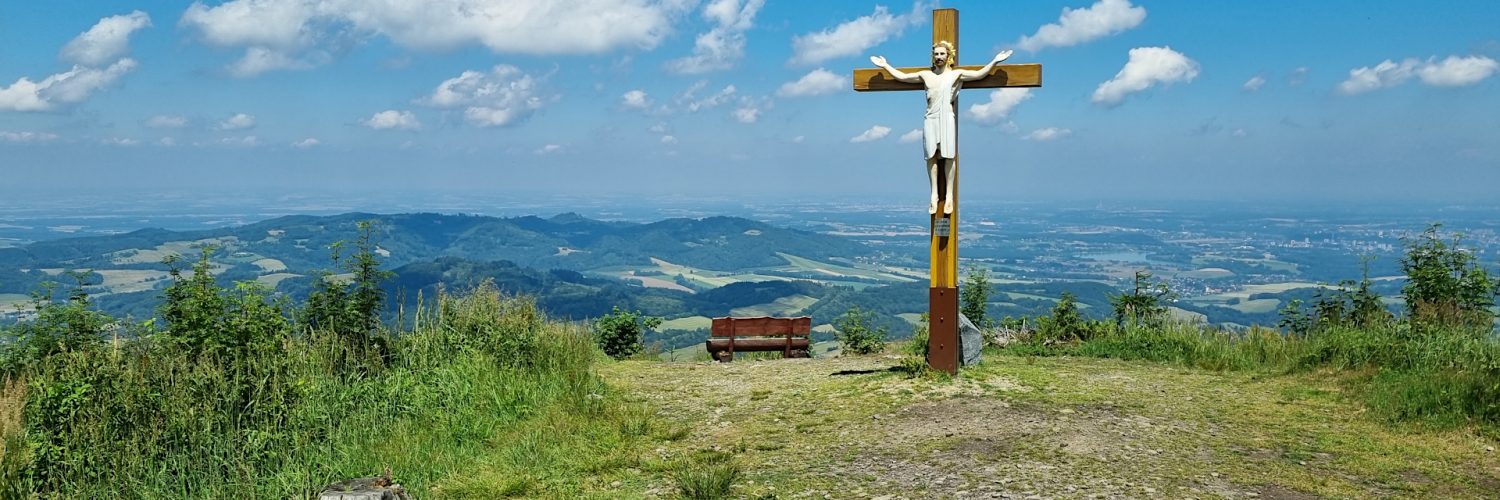
01:31:34 Ondřejník
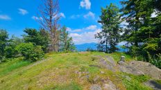
Ondřejník – a peak 890 m a.s.l. in the Podbeskydy Uplands. It is the northernmost peak in the Ondřejník Massif.
Hike recorded on June 29, 2024.