Virtual hike: Ascent to Pilsko Mountain from Korbielów, Poland
Route: Korbielów, parking (602 m a.s.l.; 49.575565, 19.343614) – Buczynka Stream (707 m a.s.l.; 49.567552, 19.332832) – Czarny Groń (1131 m a.s.l.; 49.548047, 19.321746) – Kamieniańska Glade (1237 m a.s.l.; 49.543270, 19.316298) – Miziowa Glade (1271 m a.s.l.; 49.541178, 19.317819) – Pod Kopcem (1395 m a.s.l.; 49.536311, 19.315913) – Góra Pięciu Kopców (1533 m a.s.l.; 49.531090, 19.318797) – Pilsko Mountain (1557 m a.s.l.; 49.527970, 19.316799)
Trail designation: yellow trail, black trail, green trail
Length: about 6.7 km
Walking time: about 3:00 h
Sum of approaches: 953 m
Sum down: 0 m
00:00:17 Korbielów, parking
00:02:10 Buczynka Stream
00:16:51 Buczynka Stream
00:38:27 Foresters’ Chapel
01:09:31 Czarny Groń
01:25:30 Kamieniańska Glade
01:31:26 Miziowa Glade
01:32:13 Kamienny Stream
01:34:37 Hala Miziowa PTTK Mountain Shelter
01:50:21 Pod Kopcem
02:08:31 Góra Pięciu Kopców
02:10:53 Studnia Spring
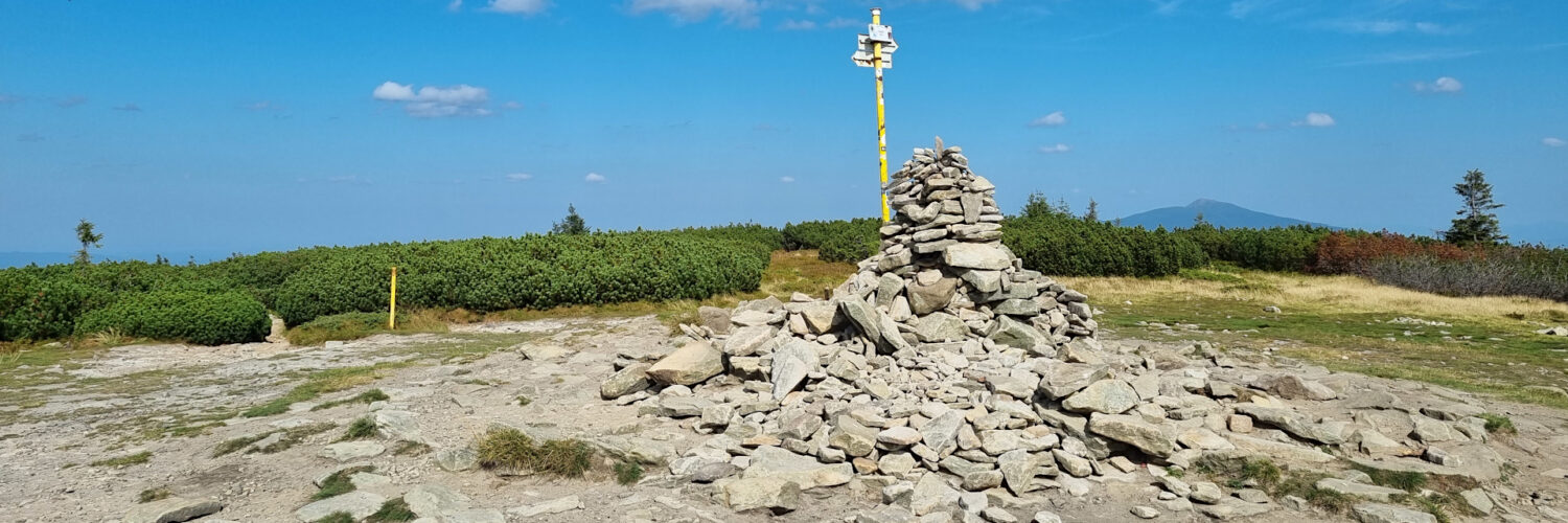
02:18:08 Pilsko Mountain
Pilsko – a peak with a height of 1557 m a.s.l. in the Żywiec-Orawa Beskid Mountains in Slovakia. According to the Slovak regionalization, these are the Orava Beskids (Oravské Beskydy). It is the second highest peak of the Żywiec-Orawa Beskid Mountains.
Hike recorded on September 6, 2024.


