Virtual hike: Perlikowa Hill and Słowiec Hill in the Orłowiny Range, Poland
Route: Kieł Hill (452 m a.s.l.; 50.768941, 20.990576) – Orłowiny (377 m a.s.l.; 50.775978, 20.991933) – Perlikowa Hill (423 m a.s.l.; 50.775734, 20.977403) – Słowiec Hill (432 m a.s.l.; 50.775939, 20.959771) – Widełki, bus stop (310 m a.s.l.; 50.768479, 20.941757)
Trail designation: blue trail, roads and paths marked on the map, paths not marked on the map
Length: about 9.1 km
Walking time: about 2:30 h
Sum of approaches: 112 m
Sum down: 255 m
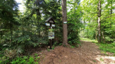
00:00:18 Kieł Hill
00:07:45 Going off the trail
00:12:31 Return to the blue trail
00:14:34 Going off the trail
00:29:38 Orłowiny
00:34:22 Cross
00:55:26 Perlikowa Hill
01:23:07 Słowiec Hill
01:38:31 Stream
02:10:27 Łukawka Stream
02:15:43 Widełki, bus stop (310 m a.s.l.)
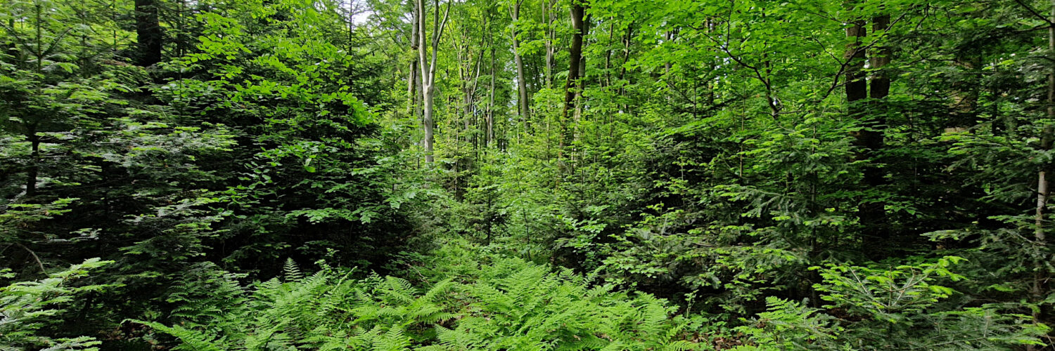
Słowiec Hill – a hill rising 432 m a.s.l. in the Świętokrzyskie Mountains. It is the second-highest peak in the Orłowiny Range. It is located in the central part of the range. To the west, it borders Wysokówka Hill and to the east, Perlikowa Hill. The northern slopes descend to an unnamed stream, a tributary of the Nidzianka River, while the southern slopes descend to the Łukawka Stream.
The summit and its slopes are entirely covered in forest. No path leads to the summit, and there are no hiking trails nearby. A disused forest road bypasses the summit to the south and west.
The hike was recorded on May 21, 2025.