Virtual hike: Descent from Smrekovica Mountain through Veľká Skala Mountain to Vyšný Slavkov, Slovakia
Route: Smrekovica Mountain (1200 m a.s.l.; 49.046351, 20.871578) – Pod Kravcovou (953 m a.s.l.; 49.047461, 20.895169) – Boldigáň (917 m a.s.l.; 49.053171, 20.896690) – Veľká Skala Mountain (931 m a.s.l.; 49.058441, 20.889730) – Veľká Skala, view point (891 m a.s.l.; 49.059624, 20.883677) – Markušov (640 m a.s.l.; 49.061238, 20.872276) – Vyšný Slavkov, quarry (583 m a.s.l.; 49.071313, 20.854230)
Trail designation: yellow trail, blue trail
Length: about 6.5 km
Walking time: about 2:30 h
Sum of approaches: 21 m
Sum down: 631 m
00:00:18 Smrekovica Mountain
00:07:19 Crossing of trails
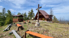
00:32:15 Cross
00:37:33 Biela Voda Spring
00:43:04 Horná Kravcová
00:48:26 Crossing of trails
00:54:49 Pod Kravcovou
01:05:57 Boldigáň
01:09:04 Nad Boldigaňom
01:21:56 Veľká Skala Mountain
01:37:00 Veľká Skala, view point
02:03:24 Antalov Stream
02:05:21 Markušov
02:20:46 Quarry
02:22:40 Vyšný Slavkov, quarry
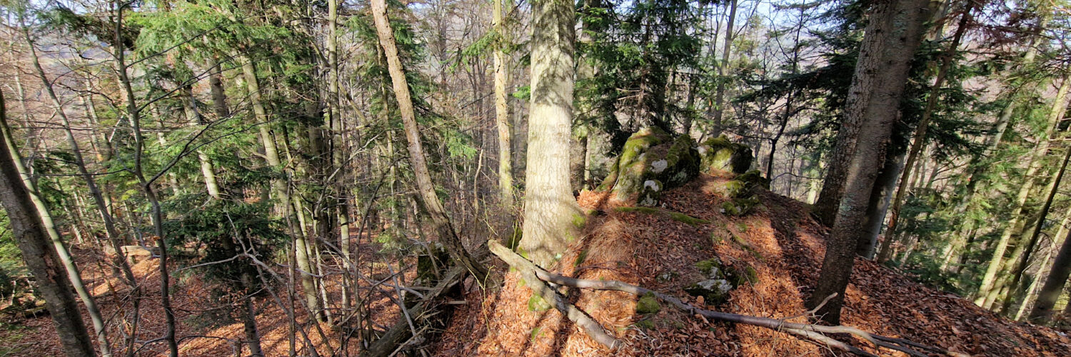
Veľká skala – a peak at 931 m a.s.l. in the Branisko Mountains in Slovakia. It is located on a ridge in the northern part of the Branisko Mountains, in the Smrekovica geomorphological division. The Veľká skala ridge stretches northwest from Boldigaň Peak to Lačnovské sedlo. The northern slopes descend to the Zubrík Stream, and the southern slopes descend to the Antalov Stream.
The peak is covered with a lower montane mixed forest. On the western side of the peak are rocks and a viewpoint from which one can observe the surrounding peaks of the Branisko Mountains, and under favorable conditions, also the Belianske Tatras, Levoca Mountains, Bachureň, and Slanské Mountains.
The blue hiking trail from Vyšný Slavkov passes near the peak.
Hike recorded on April 17, 2025.


