Virtual hike: Ascent to Wysokie Bereście from Wojkowa, Poland
Route: Wojkowa, bus stop (637 m a.s.l.; 49.343605, 20.997212) – Pusta Hill (822 m a.s.l.; 49.355335, 21.001198) – Pusta Stream Valley (649 m a.s.l.; 49.356855, 21.010097) – Wysokie Bereście Hill (893 m a.s.l.; 49.366232, 21.026367)
Trail designation: roads and paths marked on the map
Length: about 7.7 km
Walking time: about 2:40 h
Sum of approaches: 443 m
Sum down: 192 m
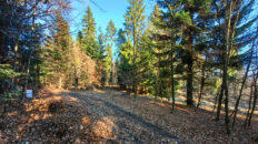
00:00:20 Wojkowa, bus stop
00:01:35 Wojkowa Stream
00:03:38 Chapel
00:41:36 Pusta Hill
01:02:06 Stream
01:12:16 Stream
01:14:30 Pusta Stream
01:15:33 Pusta Stream Valley
01:35:31 Pusta Stream
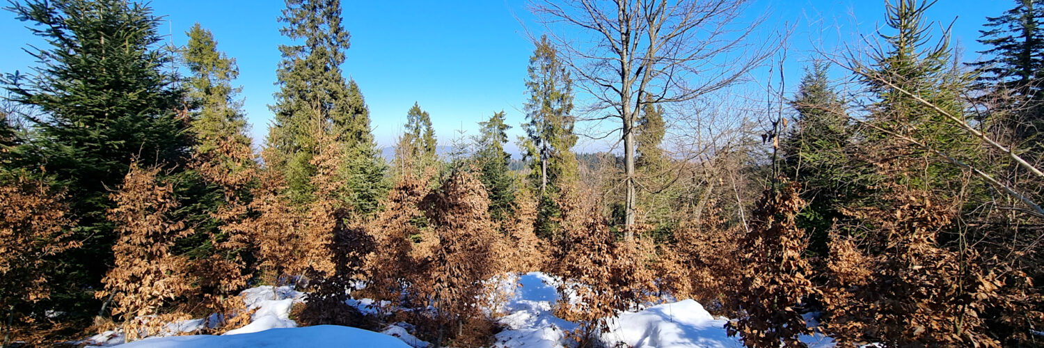
02:23:01 Wysokie Bereście Hill
Wysokie Bereście Hill – a hill 893 m a.s.l. in the Poprad Foothills. Together with the Bereście Hill (867 m aa.s.l.) neighbouring from the west, they form a solitary massif with a parallel course that does not connect with other elevations. The southern slopes descend to the Pusta Stream valley, to the north-west there is a ridge descending to the Muszynka River and to the east there is a ridge descending to the Szczawnik Stream. The northern slopes of the Bereście massif descend to the Borsuczyna Valley, through the bottom of which flows an unnamed stream that is a tributary of the Pusta Stream.
The peak and slopes are covered with a fir forest with an admixture of spruce and beech. In the gaps between the trees there is a view of Jaworzyna Krynicka. On the eastern side of the peak there was a former Lemko glade, now almost completely covered with forest.
Wysokie Bereście is located in the Poprad Landscape Park.
There is no tourist trail leading to the summit, the road marked on the map traverses the summit from the south, and the summit can be reached by a path not marked on the map.
The hike recorded on March 6, 2025.