Virtual hike: Ascent to Bukowinki from Jaworki, Poland
Route: Jaworki, church (583 m a.s.l.; 49.407741, 20.548586) – Czarna Woda, Poprad Landscape Park (659 m a.s.l.; 49.421387, 20.574238) – Mokra Mountain (990 m a.s.l.; 49.441454, 20.579131) – Bukowinki Mountain (1218 m a.s.l.; 49.454017, 20.580955)
Trail designation: roads and paths marked on the map
Length: about 6.9 km
Walking time: about 3:00 h
Sum of approaches: 649 m
Sum down: 0 m
00:00:27 Jaworki, church
00:04:39 Czarna Woda Street
00:12:42 Czarna Woda Stream
00:14:01 Czarna Woda Stream
00:18:05 Czarna Woda Stream
00:21:58 Czarna Woda Stream
00:34:37 Poprad Landscape Park
00:34:57 Czarna Woda Stream
00:36:28 Chapel
00:48:08 Czarna Woda Stream
01:30:15 Mokra Mountain
01:40:53 Crossroads
01:53:47 Crossroads
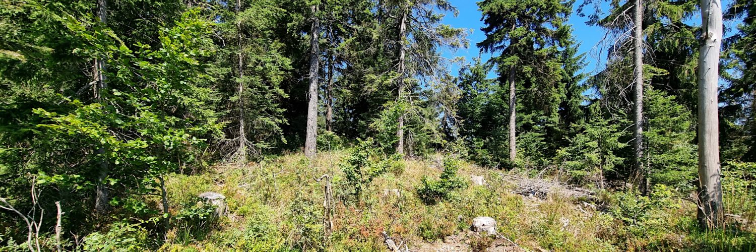
02:18:03 Bukowinki Mountain
Bukowinki – a peak with a height of 1218 m a.s.l., the third highest in the Sącz Beskid Mountains. It is located in the main ridge of the Radziejowa Range.
Hike recorded on July 31, 2024.


