Virtual hike: Ascent to Obycz Mountain from Wysowa-Zdrój, Poland
Route: Wysowa-Zdrój, Church of St. Michael the Archangel (516 m a.s.l.; 49.435221, 21.178135) – Crossing of trails near Obycz Mountain (755 m a.s.l.; 49.435164, 21.231986) – Junction point no. 22 (755 m a.s.l.; 49.437504, 21.234193) – Obycz Mountain (788 m a.s.l.; 49.434429, 21.240279)
Trail designation: blue trail
Length: about 6.1 km
Walking time: about 2:00 h
Sum of approaches: 328 m
Sum down: 58 m
00:00:16 Wysowa-Zdrój, Church of St. Michael the Archangel
00:01:04 Mediudek Stream
00:01:28 Crossing of trails
00:03:22 Crossing of trails
00:21:48 Mediudek Stream
00:27:20 Stream
00:58:51 Ropa River
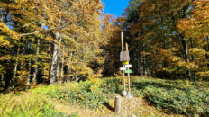
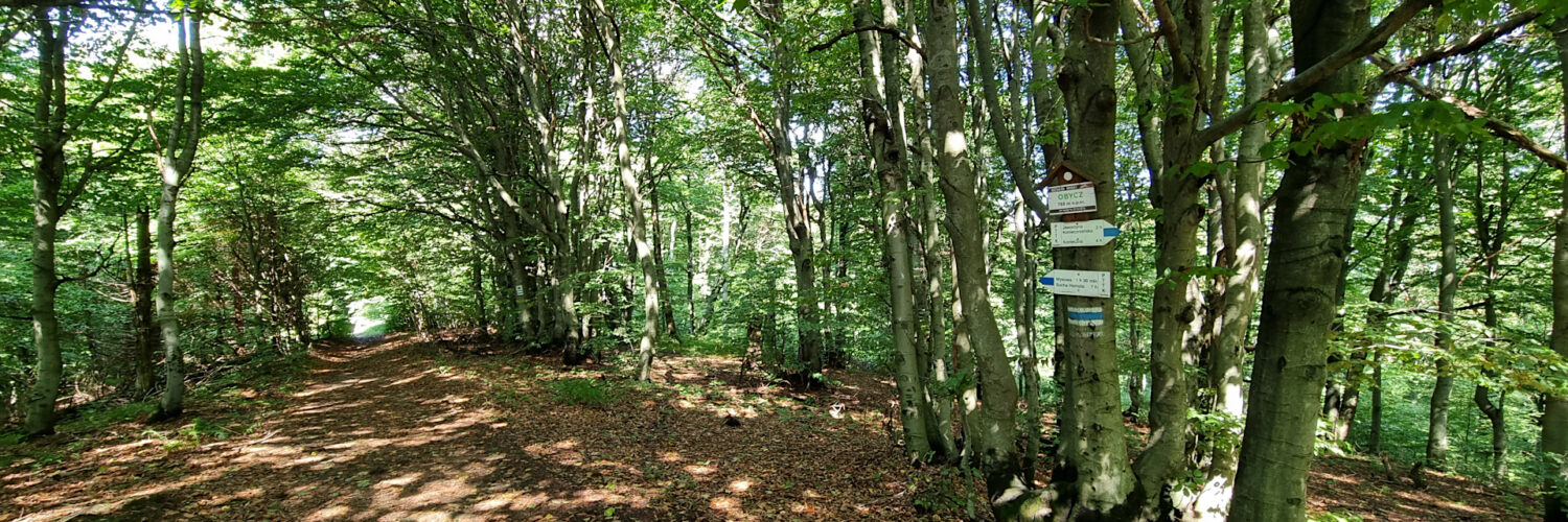
01:15:12 Crossing of trails near Obycz Mountain
01:20:34 Junction point no. 22
01:30:35 Obycz Mountain
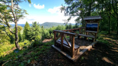
Obycz – a peak at 788 meters a.s.l. in the western part of the Low Beskid Mountains, on the Polish-Slovak border. It is located in the Hańczowa Mountains, within the Kozie Żebro, Jaworzynka and Obycz range. To the northeast, it borders Jaworzyna Konieczniańska through the Regetowska Pass. To the northwest, it borders Jaworzynka. The western slopes descend to the Rosucká Voda stream in Slovakia, while the southern slopes are cut by the valley of a seasonal stream, a left-bank tributary of the Rosucká Voda stream.
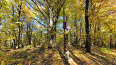
The peak is completely covered with forest, dominated by Carpathian beech forest. On the northern slopes, there is a mixed forest with abundant larch and fir.
The peak is crossed by the blue-marked Carpathian Trail Przylasek – Grybów and the red-marked Slovak trail Východokarpatská magistrála Obručné – Nova Sedlica.
Hike recorded on September 12, 2025.