Virtual hike: Descent from Obycz Mountain through Jaworzynka Mountain to Wysowa-Zdrój, Poland
Route: Obycz Mountain (788 m a.s.l.; 49.434429, 21.240279) – Junction point no. 22 (775 m a.s.l.; 49.437504, 21.234193) – Viewing Platform at Jaworzynka (780 m a.s.l.; 49.438911, 21.231983) – Junction point no. 21 (777 m a.s.l.; 49.440495, 21.229422) – Jaworzynka Viewing Platform (815 m a.s.l.; 49.442701, 21.225739) – Jaworzynka Mountain (869 m a.s.l.; 49.447187, 21.217987) – Szuwniak Stream (621 m a.s.l.; 49.448863, 21.203084) – Wysowa-Zdrój, Spa Park (513 m a.s.l.; 49.438925, 21.177924)
Trail designation: blue trail, paths marked and unmarked on the map, green trail
Length: about 6.8 km
Walking time: about 2:30 h
Sum of approaches: 115 m
Sum down: 383 m
00:00:17 Obycz Mountain
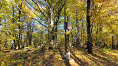
00:09:39 Junction point no. 22
00:10:24 Going off the trail
00:15:15 Viewing Platform at Jaworzynka
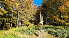
00:20:47 Junction point no. 21
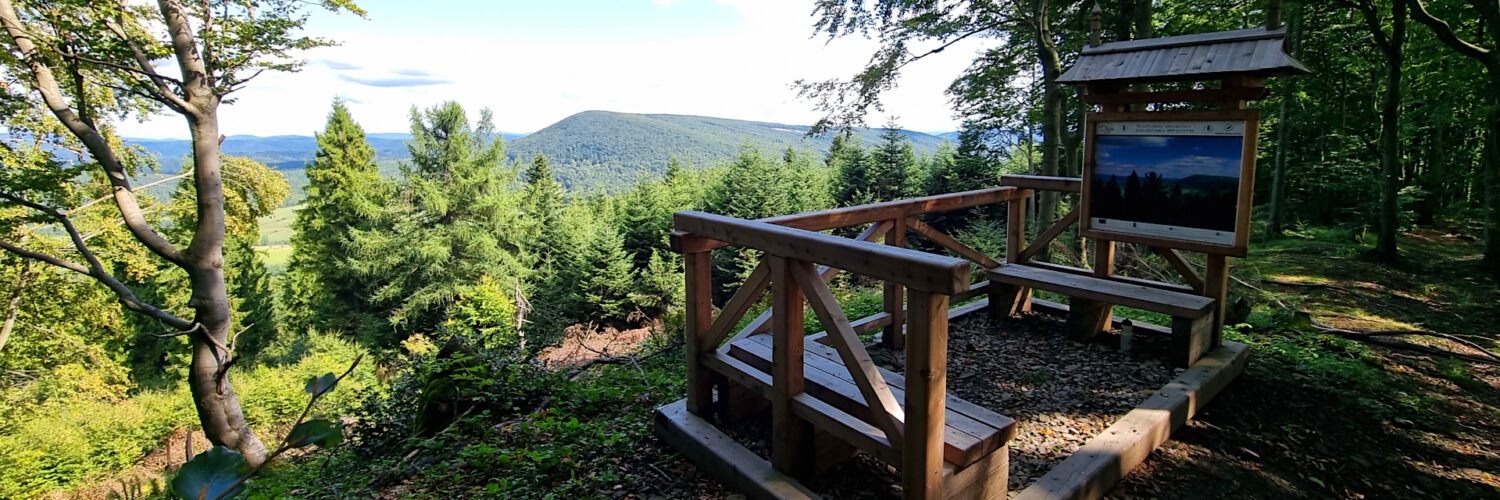
00:28:27 Jaworzynka Viewing Platform
00:32:00 Trenches from World War I
00:33:33 Trenches from World War I
00:46:30 Jaworzynka Mountain
00:48:07 Trenches from World War I
01:21:35 Stream
01:32:03 Stream
01:35:14 Szuwniak Stream
01:47:50 Green trail
01:59:16 Going off the trail
02:02:49 Wysowa-Zdrój, Spa Park
02:07:44 Wysowa-Zdrój, Spa Park
Jaworzynka Mountain (Jaworzynka Regietowska) – a peak with an elevation of 869 m a.s.l. in the western part of the Low Beskid Mountains. It is located in the Hańczowa Mountains, within the Kozie Żebro, Jaworzynka, and Obycz ranges. It borders Obycz to the southeast and Kozie Żebro to the northwest. The northeastern slopes descend to the Regetówka Stream valley, while the southwestern slopes descend to the Szuwniak Stream.
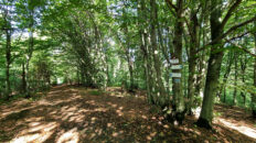
The summit and its slopes are covered with Carpathian beech forest, with a mixture of fir and larch on the southern side. The summit offers no views. There are two viewpoints on the ridge stretching towards Obycz. The northern one (closer to Jaworzynka) offers a wide view of Jaworzyna Konieczniańska and, in the distance, Kamienny Wierch and Czerteż. The southern one (closer to Obycz) offers views of Lackowa and Busov, and in clear weather, the Tatra Mountains are also visible.
There is no marked hiking trail leading to the summit. The summit can be reached from junction point 22, located on the blue trail near Obycz, or from junction 21, located on the bicycle trail. There is no marked path on the map.
From the second viewpoint, the remains of trenches from World War I stretch all the way to the summit. On March 27-28, 1915, a bloody battle between Austro-Hungarian and Tsarist forces took place here.
Hike recorded on September 12, 2025.