
Virtual hike: Ascent to Pawlików Wierch from Łapszanka Pass, Poland
Route: Łapszanka Pass (940 m a.s.l.; 49.344208, 20.197914) – Piłatówka Mountain (1004 m a.s.l.; 49.356733, 20.171263) – Pawlików Wierch (1016 m a.s.l.; 49.368964, 20.166902) – Łapsze Wyżne, parking lot (662 m a.s.l.; 49.394210, 20.190296)
Trail designation: blue trail, red trail
Length: about 8.0 km
Walking time: about 3:00 h
Sum of approaches: 45 m
Sum down: 330 m
00:00:17 Łapszanka Pass
00:15:35 Crossing of trails
00:46:30 Piłatówka Mountain
00:58:06 Pawliki
01:12:07 Crossing of trails
01:18:25 Going off the trail
01:24:38 Pawlików Wierch
01:35:29 Return to the red trail
01:40:21 Chapel
02:23:08 Łapszanka Stream
02:31:17 Łapszanka Stream
02:32:56 Łapsze Wyżne, parking lot
Pawlików Wierch – a peak at 1016 m a.s.l. in the Magura Spiska Mountains. It is located on a ridge extending from the Łapszanka Pass and descending to the Łapszanka Stream in the village of Łapsze Wyżne. It borders Piłatówka Peak to the south, Wierchowina Peak to the west, and Kuśnierzów Wierch to the north. The eastern slopes of Pawlików Wierch descend to the Łapszanka Stream valley, while the western slopes descend to the Trybska Rzeka Stream valley (which feeds the Białka River).
Pawlików Wierch is composed of Podhale flysch, which regionally belongs to the Central Western Carpathians (as opposed to the Beskid Mountains, which belong to the Outer Carpathians). These rocks were formed in the Cenozoic era (more precisely, in the Paleogene) as sediments of a former sea.
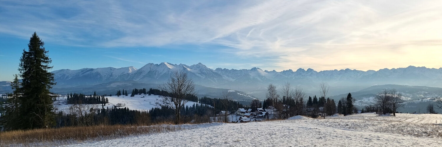
The summit is treeless, offering a sweeping view of the Tatra Mountains and the Żywiec-Orawa Beskid Mountains (with Babia Góra dominating). The slopes are mostly covered with farmland and pastures.
From the west, the summit is traversed by the red Chochołów – Trzy Kopce Pass hiking trail, and from the south, by the blue Brzeźnica – Kacwin hiking trail.
The hike was recorded on November 19, 2025.