

Virtual hike: A walk through the hills of the Bukowiec Range in the Wieliczka Foothills, Poland
Route: Krzywaczka, entrance to the blue trail (330 m a.s.l.; 49.881100, 19.835692) – Lisia Góra (438 m a.s.l.; 49.869602, 19.820934) – Wielka Góra (455 m a.s.l.; 49.864941, 19.844677) – Podgranicznik Hill (431 m a.s.l.; 49.866683, 19.867836) – Środkowa Góra (413 m a.s.l.; 49.868222, 19.877365) – Wilkówka Hill (374 m a.s.l.; 49.872176, 19.877305) – Bęczarka, Spacerowa Street (302 m a.s.l.; 49.874559, 19.876325)
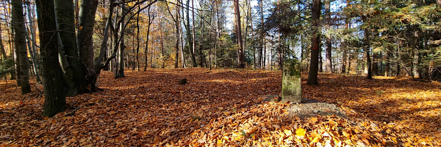
Trail designation: blue trail, roads and paths marked on the map
Length: about 10.2 km
Walking time: about 4:00 h
Sum of approaches: 195 m
Sum down: 217 m
00:00:31 Krzywaczka, entrance to the blue trail
00:33:49 Going off the trail
00:44:12 Lisia Góra
01:00:03 Stream
01:30:08 Intersection with the blue trail
02:01:09 Wielka Góra
02:36:08 Podgranicznik Hill
02:57:00 Środkowa Góra
03:13:15 Wilkówka Hill
03:27:02 Zakrętek Stream
03:29:31 Bęczarka, Spacerowa Street
Bukowiec Range – a hill range located in the central part of the Wieliczka Foothills, stretching latitudinally from the Harbutówka Valley in the west to the Głogoczówka Valley in the east. A short side ridge branches off from the main ridge to the northeast, separated from the southern part of the range by the Krzyszkowianka Stream valley. The southern slopes descend into the valleys of two streams flowing in opposite directions: the Jaworniczka Stream, which flows into the Głogoczówka, and the Piegżówka (Rudnik) Stream, which flows into the Harbutówka. These stream valleys separate the Bukowiec Range from the Barnasiówka Range. The northern slopes of the range descend into the Harbutówka River valley. The highest peak of the range is Wielka Góra Hill, at 455 meters above sea level. The Bukowiec Range is composed of Carpathian flysch – alternating layers of sedimentary rocks deposited on the floor of the former ocean (Tethys) from the Cretaceous to the Paleogene, then folded and thrust into nappes during the Alpine orogeny. The higher elevations, including the Bukowiec Ridge itself, are composed of sandstones, which are harder and more resistant to weathering. In the depressions and stream valleys surrounding the range, clay shales and marls occur, which are soft and susceptible to erosion.
The Bukowiec Range belongs to the Silesian Nappe, which was thrust onto formations further north. The tectonic structure here is folded. The rock layers are often steeply inclined, fractured, and cut by faults, which directly impacts the hydrology and stability of the slopes.
The vegetation of the Bukowiec Range is typical of the foothills (up to an altitude of approximately 500–600 m above sea level) in the Outer Carpathians. The plant landscape is mosaic in nature – the original forest cover has been largely transformed by humans over the centuries, so forests mainly cover the higher parts of the ridge and the steep slopes, while the gentler slopes are occupied by croplands and pastures.
Forests cover the western and central, highest parts of the range. The most characteristic community in these parts is the fertile Carpathian beech forest. Although the best-preserved patches of this community occur slightly further south, the Bukowiec Range also contains fragments of forests dominated by common beech and silver fir.
In the lower and warmer sections of the slopes, beech forests give way to subcontinental oak-hornbeam forests. These are multi-species deciduous and mixed forests dominated by common hornbeam, common oak, and sessile oak. They are also interspersed with small-leaved lime and Scots pine, which were often introduced to these areas by humans as part of past forest management practices.
The stream valley bottoms, for example, around the Bęczarka River or at the foot of the range in the Głogoczówka Valley, have a completely different character. In these moist and periodically flooded areas, riverine riparian forests and alder forests have developed. These primarily consist of fast-growing species that are tolerant of high soil moisture, dominated by black alder, common ash, and various willow species.
The blue Skawina-Sułkowice hiking trail has been marked through the western part of the range.
Hike recorded on October 31, 2025.