
Virtual hike: Ascent to Kurasówka, Dudasowski Wierch and Kopylec, Poland
Route: Łapsze Wyżne, parking lot (662 m a.s.l.; 49.394210, 20.190296) – Gacków Wierch (896 m a.s.l.; 49.371692, 20.190586) – Kurasówka Mountain (1037 m a.s.l.; 49.365296, 20.198327) – Dudasowski Wierch (1038 m a.s.l.; 49.357086, 20.202506) – Kopylec Mountain (1035 m a.s.l.; 49.349168, 20.208401) – Łapszanka Pass (940 m a.s.l.; 49.344208, 20.197914)
Trail designation: roads and paths marked on the map
Length: about 7.6 km
Walking time: about 3:00 h
Sum of approaches: 396 m
Sum down: 114 m
00:00:27 Łapsze Wyżne, parking lot
00:02:02 Łapszanka Stream
00:05:41 Chapel
01:03:49 Gacków Wierch
01:31:50 Kurasówka Mountain
02:04:55 Dudasowski Wierch
02:26:39 Yellow trail
02:34:00 Going off the trail
02:37:54 Kopylec Mountain
02:45:53 Yellow trail
02:50:07 Crossing of trails
02:59:12 Łapszanka Pass
Dudasowski Wierch – a peak at 1,038 meters above sea level in the Magura Spiska Mountains. It is located on a ridge extending north from Kopylec (Holowiec) Peak and descending into the Łapszanka Stream valley in the village of Łapsze Wyżne. It borders Kopylec Peak to the south and Kurasówka Peak (Kuraszowski Wierch) to the north. The western slopes gently descend to the Łapszanka Stream, while the eastern slopes descend steeply to the Kotarne Stream.
Dudasowski Wierch is composed of Podhale flysch, which regionally belongs to the Central Western Carpathians (as opposed to the Beskid Mountains, which belong to the Outer Carpathians). These rocks were formed in the Cenozoic era (more precisely, in the Paleogene) as sediments of a former sea.
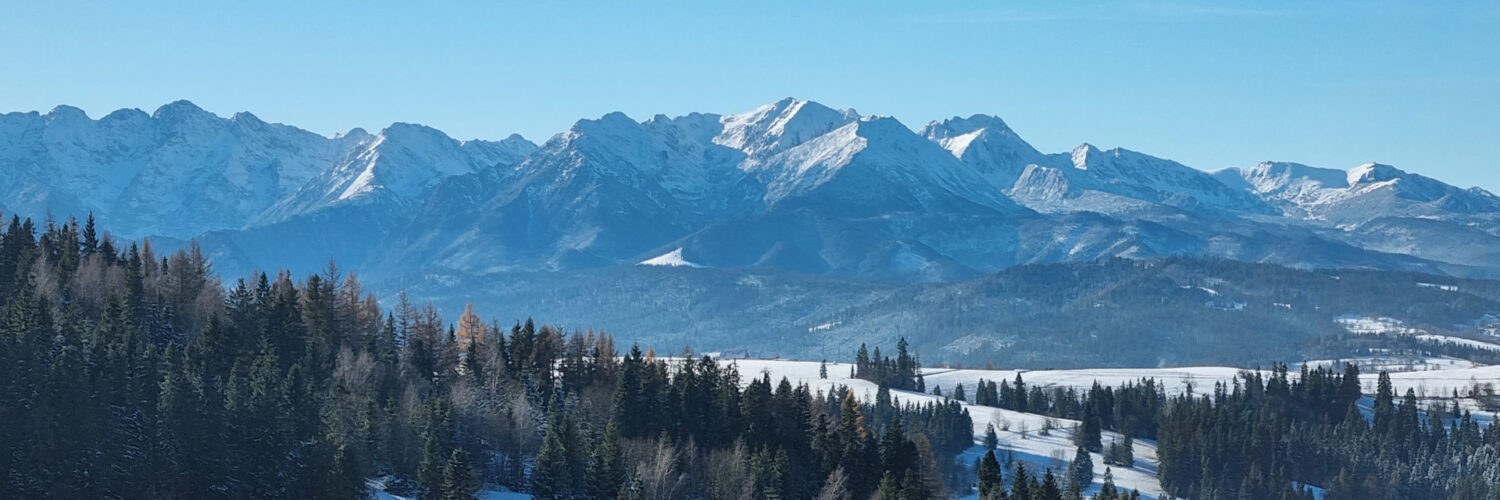
At the summit, there is a large clearing, but views are limited due to the surrounding forests. The slopes of Dudasowski Wierch are covered with a lower montane forest dominated by artificially planted spruce. The natural forest system has been significantly altered over the centuries by human activity, shaping the region’s current mosaic landscape.
No hiking trails cross the summit.
The hike was recorded on November 19, 2025.