Virtual hike: Descent from Kasprowy Wierch through Myślenickie Turnie to Kuźnice, Poland
Route: Kasprowy Wierch (1987 m a.s.l.; 49.231797, 19.981561) – Myślenickie Turnie (1361 m a.s.l.; 49.251665, 19.974330) – Kuźnice (1021 m a.s.l.; 49.268953, 19.979995)
Trail designation: green trail
Length: about 6.3 km
Walking time: about 2:00 h
Sum of approaches: 0 m
Sum down: 961 m
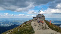
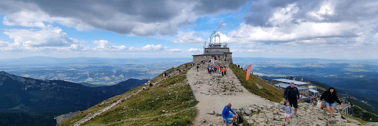
00:00:21 Kasprowy Wierch
00:50:52 Limba pine
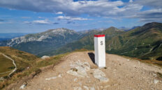
01:09:17 Myślenickie Turnie
01:17:02 Kasprowa Valley
01:29:31 Kasprowy Stream
01:32:15 Kasprowy Stream
01:39:03 Bystra Valley
01:39:21 Bystra Stream
01:43:55 Bystra Stream
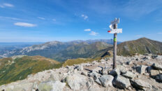
01:50:24 Crossing of trails
01:51:50 Kuźnice
Kasprowy Wierch – a peak at 1987 meters above sea level in the Western Tatra Mountains, located in the main ridge of the Tatras, on the Polish-Slovak border.
The peak borders Pośredni Wierch Goryczkowy to the west (via the Zakosy Pass) and the Beskid Mountains to the east (via the Sucha Przełęcz Pass). It forms a central watershed junction, from which ridges descend into the Bystra, Sucha Woda, Cicha Valleys (Slovakia), Goryczkowa, and Gąsienicowa Valleys. Kasprowy Wierch is geologically unique – composed of crystalline rocks (granodiorites), creating the so-called Goryczkowa Crystal Island, despite its surrounding sedimentary rocks.
Below the summit is the High-Alpine Meteorological Observatory and the upper station of the Kasprowy Wierch Cable Car. Poland’s highest-altitude ski resort is located here, offering two main ski runs: the Goryczkowa Trail and the Gąsienicowa Trail, served by a cable car and two chairlifts. The summit offers a sweeping panorama of the Tatra Mountains and the surrounding mountain ranges (Gorce and Beskids).
The red-marked Zawrat – Kościeliska Valley hiking trail leads to Kasprowy Wierch, the green-marked Kuźnice – Kasprowy Wierch hiking trail, and the yellow-marked Murowaniec Mountain Shelter – Kasprowy Wierch hiking trail.
Hike recorded on August 20, 2025.