Virtual hike: Descent from Bukowa Góra through Buczyna Hill to Gruszka Village, Poland
Route: Bukowa Góra (484 m a.s.l.; 50.958001, 20.833130) – Buczyna Hill (450 m a.s.l.; 50.966738, 20.797355) – Włoska Sosna (353 m a.s.l.; 50.958797, 20.774481) – Gruszka Village, parking (345 m a.s.l.; 50.956602, 20.713842)
Trail designation: green trail, yellow trail, paths and roads marked on the map
Length: about 10.8 km
Walking time: about 3:00 h
Sum of approaches: 87 m
Sum down: 205 m
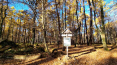
00:00:17 Bukowa Góra
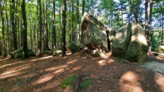
00:00:32 Wielki Kanion Rocks
00:09:42 Bukowa Góra summit
00:11:22 Crossing of trails
00:16:25 Serwatka Gorge
00:31:51 The border of the Świętokrzyski National Park
00:56:18 Going off the trail
01:00:22 Buczyna Hill
01:06:46 Return to the green trail
01:10:31 Going off the trail
01:35:20 Road flooded due to beaver activity
01:37:33 Stream
01:40:17 Stream
01:45:53 Włoska Sosna
02:27:20 Yellow trail
02:49:11 Gruszka Village, parking
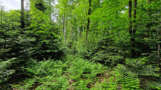
Buczyna Hill – a hill 450 meters above sea level in the Świętokrzyskie Mountains. It is located in the central part of the Klonów Range. The southern slopes gently slope down to an unnamed stream, while the northern slopes were destroyed by the PCC Silicium S.A. mine.
The beech forest is covered with a beech and fir forest with a rich and diverse undergrowth. The summit sections offer no views.
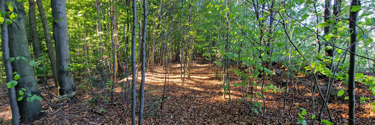
From the south, the summit is traversed by the green-marked Jerzy Głowacki Trail. A path marked on the map leads to the summit.
The hike was recorded on September 25, 2025.