Virtual hike: Ascent to Przysłopski Wierch through Koskowa Góra, Poland
Route: Bogdanówka, Fire Department (567 m a.s.l.; 49.741587, 19.803436) – Koskowa Góra (867 m a.s.l.; 49.750731, 19.782981) – Przysłopski Wierch (798 m a.s.l.; 49.752495, 19.759415)
Trail designation: black trail, blue trail, yellow trail
Length: about 4.6 km
Walking time: about 1:50 h
Sum of approaches: 304 m
Sum down: 78 m
00:00:18 Bogdanówka, Fire Department
00:05:28 Bogdanówka Stream
00:14:44 Stream
00:32:42 Crossing of trails
01:04:20 Going off the trail
01:16:29 Koskowa Góra
01:26:34 Yellow trail
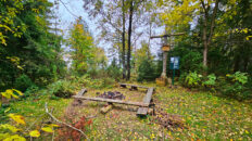
01:34:18 Chapel
01:55:32 Going off the trail
02:09:26 Przysłopski Wierch
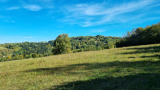
Przysłopski Wierch (Zarębska Góra) – a peak at 798 meters a.s.l. in the Makowski Beskid Mountains. It is located in the western part of the Koskowa Góra Range. To the east, it borders Koskowa Góra and to the west, Ostrysz Mountain. The northern slopes descend steeply to the Jachówka Stream, while the southeastern slopes descend to the Kozia Głowa Stream.
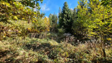
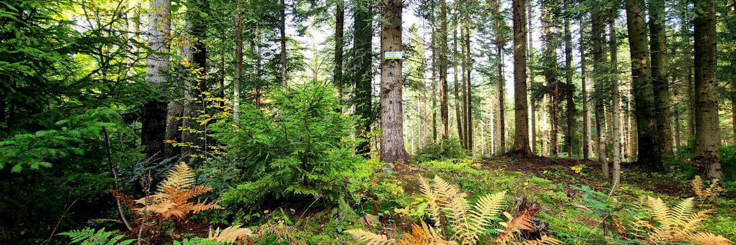
Przysłopski Wierch is composed of weathering-resistant Magura sandstone, underlain by softer shales. The summit and its slopes are covered with mixed lower montane forest, dominated by fir. This forest is of secondary character – it was formed as a result of succession on former pastures and farmland.
The yellow-marked Maków Podhalański – Chełm Wschodni hiking trail, known as the Main Trail of the Beskid Średni Mountains, traverses the summit from the south.
Hike recorded on October 16, 2025.