
Virtual hike: Ascent to Potrójna Mountain from Targanice, Poland
Route: Targanice, Nowa Wieś (477 m a.s.l.; 49.790110, 19.329897) – Warownia Na Trakcie Rock (627 m a.s.l.; 49.780661, 19.329511) – Kocierz Pass (710 m a.s.l.; 49.775874, 19.325520) – Roczenka Mountain (736 m a.s.l.; 49.775202, 19.328299) – Kiczora Mountain, western peak (756 m a.s.l.; 49.772001, 19.337814) – Kiczora Mountain, eastern peak (746 m a.s.l.; 49.773705, 19.341495) – Skaliste Pass (716 m a.s.l.; 49.771675, 19.349059) – Potrójna Mountain, southern peak (883 m a.s.l.; 49.777751, 19.366102) – Potrójna Mountain, northern peak (887 m a.s.l.; 49.780209, 19.367885)
Trail designation: black trail, red trail, yellow trail
Length: about 6.0 km
Walking time: about 2:30 h
Sum of approaches: 425 m
Sum down: 27 m
00:00:17 Targanice, Nowa Wieś
00:00:28 Targaniczanka Stream
00:03:09 Stream
00:32:13 Going off the trail
00:35:46 Rocks
00:40:47 Warownia Na Trakcie Rock
00:49:21 Return to the black trail
01:01:55 Crossing of trails
01:02:36 Kocierz Pass
01:07:02 Roczenka Mountain
01:24:10 Going off the trail
01:25:57 Kiczora Mountain, western peak
01:31:07 Return to the red trail
01:32:58 Chapel
01:37:53 Kiczora Mountain, eastern peak
01:48:08 Skaliste Pass
01:48:32 Chapel
02:19:50 Potrójna Mountain, southern peak
02:20:45 Chapel
02:32:02 Crossing of trails
02:32:51 Potrójna Mountain, northern peak
Potrójna Mountain – a two-peaked mountain in the the Mały Beskid Mountains, in the central part of the Łamana Skała Range. The southern peak is 883 meters above sea level, and the northern peak is 887 meters above sea level. To the west, Potrójna borders Koczora Mountain via the Rocky Pass, to the northwest, Jawornica Mountain, to the north, Czarny Groń Mountain, and to the southeast, via the Zakocierska Pass, it borders the Beskid peak. Its eastern slopes descend to the Targaniczanka Stream, its northern slopes to the Bolęcinianka Stream, its eastern slopes to the Pracica Stream, and its southern slopes are the tributaries of the Kocierzanka Stream.
Potrójna is the keystone for three ridges. The lower peak is located above the Kocierka Valley in the main ridge of the Mały Beskid Mountains. To the north, a short ridge branches off to a higher summit, which in turn branches into two ridges: the northwestern Jawornica ridge and the northeastern Czarny Groń ridge.
The Potrójna Massif lies within the Silesian Nappe, part of the Flysch Carpathians. The mountain was formed by the folding and overthrusting of sediments from the former Tethys Ocean during the Alpine orogeny.
The summit and the highest ridge sections are composed of Istebna Beds (Upper Cretaceous–Paleocene). These are highly weathering-resistant, thick-bedded sandstones and conglomerates. Thanks to their hardness, the summit has retained the form of a broad, flattened ridge, which today houses scenic glades.
The lower and middle sections of the slopes, descending steeply towards the Pracica Valley, form the Godula Beds (Upper Cretaceous). They consist of fine-grained sandstone and erosion-prone clay shale. Deep stream cuts into these softer rocks have shaped the steep slopes currently used by the Czarny Groń ski resort.
A characteristic feature of the local geology is the rock formations. As a result of selective weathering (washing out shale and exposing sandstone), spectacular monadnocks have formed near the summit, the most famous of which is the “Zbójeckie Okno” rock tower.
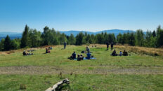
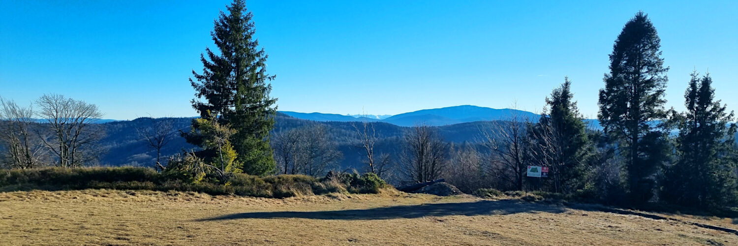
Both peaks of Potrójna are treeless, containing extensive pastures and meadows. They offer sweeping views of the Silesian Beskid Mountains, the Żywiec-Orawa Beskid Mountains, the Gorce Mountains, and the Makowski Beskid Mountains, and between Babia Góra and Kiczorka, the Tatra Mountains can be seen above the Krowiarki Pass.
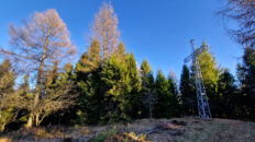
The slopes of Potrójna are covered with mixed forest. Beech dominates the northwestern side, while spruce and fir forests dominate the southeastern side. They appear in the higher reaches of the massif, closer to the summit ridge and the pass. Spruce and fir trees occupy areas where the hard Istebna sandstone bedrock produces more acidic soil. It’s worth noting that the closer you get to the neighboring Łamana Skała and the Madohora reserve, the more primeval, wilder, and abundant in mosses, ferns, and blueberry bushes these forests become.
The red-marked Mały Szlak Beskidzki Bielsko-Biała – Luboń Wielki trail, the yellow-marked Porąbka – Rzyki hiking trail, and the black-marked Rzyki, Czarny Groń – Potrójna hiking trail run through Potrójna.
Hike recorded on December 13, 2025.